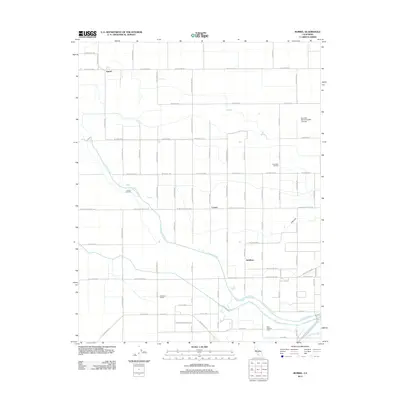
2012 Map of Burrel
USGS Topo · Published 2012About this map
Fresno Slough meanders across this Central Valley landscape, anchoring a region defined by agricultural parcels and energy extraction. The small settlements of Burrel and Lanare serve as local hubs for the surrounding farmstead network, which includes landmarks like the Mick Oliveira Farm. The industrial footprint of the early 21st century is evident through the Riverdale Oil Field and the Lanare Oil Field, illustrating the dual importance of petroleum and produce in Fresno County.
Find a feature on this map
49 named features on this map. Tap any name to fly to it.
Don’t see what you’re looking for? This feature index may not catch every label — zoom into the map to look around manually.
Map Details
Editions of this 2012 Burrel Map
This is the sole edition of this map. No revisions or reprints were ever made.
Other maps of this area

1912 · Coalinga
USGS Topo · 1:125,000

1924 · Riverdale
USGS Topo · 1:31,680

1925 · Helm
USGS Topo · 1:31,680

1925 · Raisin
USGS Topo · 1:31,680

1925 · Caruthers
USGS Topo · 1:31,680

1926 · Lethent
USGS Topo · 1:31,680

1927 · Burrel
USGS Topo · 1:31,680

1927 · Riverdale
USGS Topo · 1:31,680

1927 · Lemoore
USGS Topo · 1:31,680

1931 · Wheatville
USGS Topo · 1:31,680