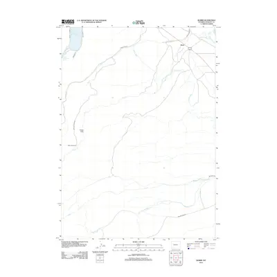
2012 Map of Burris
USGS Topo · Published 2012About this map
Burris serves as a central point of settlement in this part of Fremont County, where the high desert landscape is defined by an extensive network of irrigation infrastructure. The Wind River Canal, Dinwoody Canal, and Dry Creek Canal illustrate the vital role of water management in the region, diverting flow from natural drainages like Dry Creek and Little Dry Creek to support local ranching. Further south, Bob Creek and Meadow Creek snake across the terrain, paralleled by namesake routes like Bob Creek Road. To the northwest, the landscape transitions toward the foothills of the Wind River Range, marked by the prominent Dinwoody Lake and Upper Dinwoody Lake. Local landmarks such as Hidden Valley Ranch and the protected topography of Hidden Valley reflect the enduring ranching character and secluded geography of this Wyoming territory.
Find a feature on this map
22 named features on this map. Tap any name to fly to it.
Don’t see what you’re looking for? This feature index may not catch every label — zoom into the map to look around manually.
Map Details
Editions of this 2012 Burris Map
This is the sole edition of this map. No revisions or reprints were ever made.
Other maps of this area

1952 · Wilderness
USGS Topo · 1:24,000

1952 · Hays Park
USGS Topo · 1:24,000

1952 · Crowheart NW
USGS Topo · 1:24,000

1952 · Bob Lakes
USGS Topo · 1:24,000

1952 · Bull Lake West
USGS Topo · 1:24,000

1952 · Blue Holes
USGS Topo · 1:24,000

1952 · Crowheart
USGS Topo · 1:24,000

1952 · Burris
USGS Topo · 1:24,000

1952 · Kirkland Park
USGS Topo · 1:24,000

1955 · Thermopolis
USGS Topo · 1:250,000