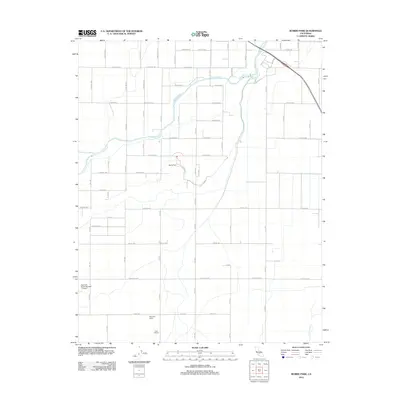
2012 Map of Burris Park
USGS Topo · Published 2012About this map
Cole Slough winds through the agricultural landscape of Fresno County, defining the drainage patterns of this San Joaquin Valley area before joining the Kings River in the northeast. The map illustrates a highly organized grid of rural roads, including Avenue 388 and Excelsior Ave, which segment the territory into large-scale ranching and farming operations. Key landmarks such as Burris Park and the private Swanson Ranch Number 1 Airport highlight the specialized land use of the region. Family-associated properties like the Fagundes Ranch and Triple F Ranch suggest the long-standing agricultural lineage that characterizes this part of the valley. To the south, Cross Creek emerges, further indicating the complex network of natural and modified waterways essential for the local economy and environmental management during the early 21st century.
Find a feature on this map
30 named features on this map. Tap any name to fly to it.
Don’t see what you’re looking for? This feature index may not catch every label — zoom into the map to look around manually.
Map Details
Editions of this 2012 Burris Park Map
This is the sole edition of this map. No revisions or reprints were ever made.
Other maps of this area

1922 · Trimmer
USGS Topo · 1:96,000

1924 · Reedley
USGS Topo · 1:31,680

1924 · Selma
USGS Topo · 1:31,680

1924 · Conejo
USGS Topo · 1:31,680

1924 · Dinuba
USGS Topo · 1:125,000

1926 · Goshen
USGS Topo · 1:31,680

1926 · Hanford
USGS Topo · 1:31,680

1926 · Burris Park
USGS Topo · 1:31,680

1927 · Traver
USGS Topo · 1:31,680

1927 · Laton
USGS Topo · 1:31,680