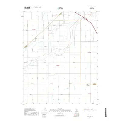
2018 Map of Burris Park
USGS Topo · Published 2018About this map
Burris Park sits at the heart of this agricultural landscape in the San Joaquin Valley, where the waters of the Kings River and Cole Slough are distributed through a complex network of man-made waterways. This survey reveals the intricate hydraulic engineering required to sustain the Central Valley economy, featuring named infrastructure like the Selma Colony Ditch, Ward Drainage Canal, and Island Canal. The map captures the convergence of three counties—Fresno, Tulare, and Kings—demarcated by surveyed section lines and arterial roads like Elkhorn Ave and Excelsior Ave. For those researching local land use or water rights, the specific placement of the Settlers Ditch and the Lakeland Canal provides concrete evidence of the region’s long-standing irrigation patterns and rural development.
Find a feature on this map
53 named features on this map. Tap any name to fly to it.
Don’t see what you’re looking for? This feature index may not catch every label — zoom into the map to look around manually.
Map Details
Editions of this 2018 Burris Park Map
This is the sole edition of this map. No revisions or reprints were ever made.
Other maps of this area

1922 · Trimmer
USGS Topo · 1:96,000

1924 · Reedley
USGS Topo · 1:31,680

1924 · Selma
USGS Topo · 1:31,680

1924 · Conejo
USGS Topo · 1:31,680

1924 · Dinuba
USGS Topo · 1:125,000

1926 · Goshen
USGS Topo · 1:31,680

1926 · Hanford
USGS Topo · 1:31,680

1926 · Burris Park
USGS Topo · 1:31,680

1927 · Traver
USGS Topo · 1:31,680

1927 · Laton
USGS Topo · 1:31,680