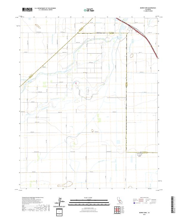
2021 Map of Burris Park
USGS Topo · Published 2021About this map
The Kings River dominates this agricultural section of the San Joaquin Valley, weaving through a complex network of man-made irrigation infrastructure that defines the region's productive character. This 2021 landscape is characterized by a precise grid of rural roads, such as Excelsior Ave and Elder Ave, which service the vast fields between Kings Co, Fresno Co, and Tulare Co. The hydraulic engineering required for this scale of farming is visible in the numerous waterways that branch from the main river channel, including the Island Canal, Riverside Ditch, and Settlers Ditch. Notable water features like Cole Slough and Dutch John Cut further illustrate the intricate drainage and distribution patterns. This map serves as a contemporary record of how water rights and management have shaped the land use and county boundaries in this vital Central California corridor.
Find a feature on this map
53 named features on this map. Tap any name to fly to it.
Don’t see what you’re looking for? This feature index may not catch every label — zoom into the map to look around manually.
Map Details
Editions of this 2021 Burris Park Map
This is the sole edition of this map. No revisions or reprints were ever made.
Other maps of this area

1922 · Trimmer
USGS Topo · 1:96,000

1924 · Reedley
USGS Topo · 1:31,680

1924 · Selma
USGS Topo · 1:31,680

1924 · Conejo
USGS Topo · 1:31,680

1924 · Dinuba
USGS Topo · 1:125,000

1926 · Goshen
USGS Topo · 1:31,680

1926 · Hanford
USGS Topo · 1:31,680

1926 · Burris Park
USGS Topo · 1:31,680

1927 · Traver
USGS Topo · 1:31,680

1927 · Laton
USGS Topo · 1:31,680