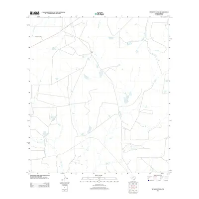
2013 Map of Burrito Tank
USGS Topo · Published 2013About this map
Yugo Ranch and several smaller agricultural operations anchor this arid landscape of the Rio Grande basin in South Texas. The area is defined by a complex network of seasonal drainages and stock tanks essential for ranching in Webb County. Major waterways including Aguilete Cr, Piedra Parada Cr, and San Juanito Cr provide the primary geographical structure, while named reservoirs like Burrito Tank and Llorona Tank highlight the critical role of water management in this environment.
Find a feature on this map
17 named features on this map. Tap any name to fly to it.
Don’t see what you’re looking for? This feature index may not catch every label — zoom into the map to look around manually.
Map Details
Editions of this 2013 Burrito Tank Map
This is the sole edition of this map. No revisions or reprints were ever made.
Other maps of this area

1933 · Becerra Creek
USGS Topo · 1:62,500

1937 · Aguilete Creek
USGS Topo · 1:62,500

1940 · Aguilares
USGS Topo · 1:62,500

1956 · Laredo East
USGS Topo · 1:62,500

1956 · Laredo
USGS Topo · 1:250,000

1965 · Cibolo Ranch
USGS Topo · 1:24,000

1965 · Tios Creek
USGS Topo · 1:24,000

1980 · Blancas Creek North
USGS Topo · 1:24,000
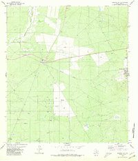
1980 · Mirando City
USGS Topo · 1:24,000
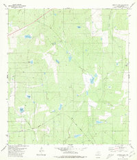
1980 · Burrito Tank
USGS Topo · 1:24,000
Featured Places
- Ranchitos las Lomas Colonia, TX
- Ranchitos los Arcos Colonia, TX
- Ranchitos los Centenarios Colonia, TX
- Ranchitos los Fresnos Colonia, TX
- Ranchitos los Mesquites Colonia, TX