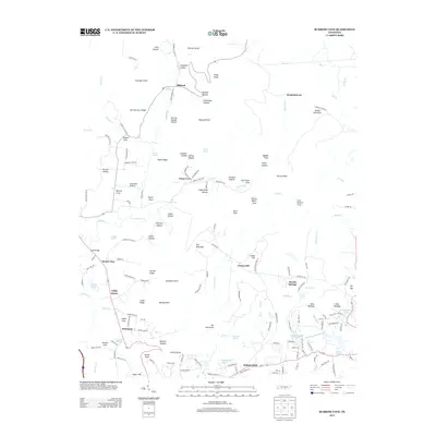
2013 Map of Burrow Cove
USGS Topo · Published 2013About this map
Payne Cove and the surrounding hollows define this pocket of the Cumberland Plateau, where the headwaters of the Elk River emerge from the limestone landscape. This 2013 survey documents a network of small settlements and family-named landforms, including Sartain Springs, Elkhead, and the dispersed communities of West Ramsey and East Ramsey near Plainview Lake. The terrain is marked by numerous natural springs like Blue Spring and Gilliam Spring, which historically dictated the pattern of local homesteads.
Find a feature on this map
160 named features on this map. Tap any name to fly to it.
Don’t see what you’re looking for? This feature index may not catch every label — zoom into the map to look around manually.
Map Details
Editions of this 2013 Burrow Cove Map
This is the sole edition of this map. No revisions or reprints were ever made.
Other maps of this area

1895 · Sewanee
USGS Topo · 1:125,000

1936 · Sewanee
USGS Topo · 1:24,000

1936 · Alto
USGS Topo · 1:24,000

1936 · Burrow Cove
USGS Topo · 1:24,000

1936 · Tracy City
USGS Topo · 1:24,000

1936 · Monteagle
USGS Topo · 1:24,000

1936 · Hillsboro
USGS Topo · 1:24,000

1936 · White City
USGS Topo · 1:24,000

1936 · Cane Hollow
USGS Topo · 1:24,000

1943 · Mc Minnville
USGS Topo · 1:100,000