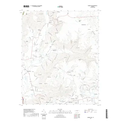
2019 Map of Burrow Cove
USGS Topo · Published 2019About this map
The Cumberland Plateau rises sharply above the Elk River in this detailed survey, where agricultural flats meet the deeply incised valleys of Burrow Cove and Payne Cove. The landscape is defined by its dramatic relief, featuring numerous family-named overlooks and hollows such as Wild Boar Bluff, Fults Hollow, and Sunset Rock. These landforms dictate the settlement patterns of communities like Monteagle and Tracy City, which sit atop the plateau, while smaller hamlets like Piedmont and Pelham occupy the lower elevations along the river's path.
Find a feature on this map
167 named features on this map. Tap any name to fly to it.
Don’t see what you’re looking for? This feature index may not catch every label — zoom into the map to look around manually.
Map Details
Editions of this 2019 Burrow Cove Map
This is the sole edition of this map. No revisions or reprints were ever made.
Other maps of this area

1895 · Sewanee
USGS Topo · 1:125,000

1936 · Sewanee
USGS Topo · 1:24,000

1936 · Alto
USGS Topo · 1:24,000

1936 · Burrow Cove
USGS Topo · 1:24,000

1936 · Tracy City
USGS Topo · 1:24,000

1936 · Monteagle
USGS Topo · 1:24,000

1936 · Hillsboro
USGS Topo · 1:24,000

1936 · White City
USGS Topo · 1:24,000

1936 · Cane Hollow
USGS Topo · 1:24,000

1943 · Mc Minnville
USGS Topo · 1:100,000