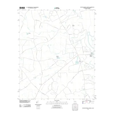
2011 Map of Burtons Ferry Landing
USGS Topo · Published 2011About this map
Burtons Ferry Landing marks a historic crossing point on the Savannah River at the eastern edge of Burke County, where river-based transport once interfaced with the regional road network. This 2011 survey illustrates a landscape defined by controlled water bodies and agricultural infrastructure, including Wade Lake Number One and Wade Lake Number Two, both managed by their respective dams. The area’s genealogical footprint is preserved in locations like Bethel Cemetery and Meek Cemetery, while local aviation is represented by the Wade Plantation Airport.
Find a feature on this map
43 named features on this map. Tap any name to fly to it.
Don’t see what you’re looking for? This feature index may not catch every label — zoom into the map to look around manually.
Map Details
Editions of this 2011 Burtons Ferry Landing Map
This is the sole edition of this map. No revisions or reprints were ever made.
Other maps of this area

1919 · Allendale
USGS Topo · 1:62,500

1920 · Ellenton
USGS Topo · 1:48,000

1920 · Hilltonia
USGS Topo · 1:62,500

1920 · Peeples
USGS Topo · 1:62,500

1921 · Ellenton
USGS Topo · 1:62,500

1943 · Allendale
USGS Topo · 1:62,500

1943 · Hilltonia
USGS Topo · 1:62,500

1943 · Peeples
USGS Topo · 1:62,500

1943 · Augusta East
USGS Topo · 1:125,000

1943 · Millen
USGS Topo · 1:125,000