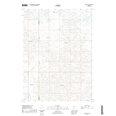
2017 Map of Burwell NW
USGS Topo · Published 2017About this map
Calamus Reservoir and the surrounding Sandhills landscape define this section of Garfield and Loup counties. The map illustrates a complex network of wetlands and small water bodies, including Nichol Lake and Bald Lake, which are characteristic of the region's high water table and dune topography. These features are interspersed with low-lying areas like Garska Meadow, highlighting the ecological transition zones where the dunes meet more stable meadowlands.
Find a feature on this map
14 named features on this map. Tap any name to fly to it.
Don’t see what you’re looking for? This feature index may not catch every label — zoom into the map to look around manually.
Map Details
Editions of this 2017 Burwell NW Map
This is the sole edition of this map. No revisions or reprints were ever made.
Other maps of this area

1952 · Burwell
USGS Topo · 1:24,000

1952 · Burwell SE
USGS Topo · 1:24,000

1952 · Burwell NE
USGS Topo · 1:24,000

1952 · Taylor SE
USGS Topo · 1:24,000

1952 · Burwell NW
USGS Topo · 1:24,000

1952 · Taylor NE
USGS Topo · 1:24,000

1955 · Broken Bow
USGS Topo · 1:250,000

1955 · O'Neill
USGS Topo · 1:250,000

1956 · Broken Bow
USGS Topo · 1:250,000

1959 · O'Neill
USGS Topo · 1:250,000