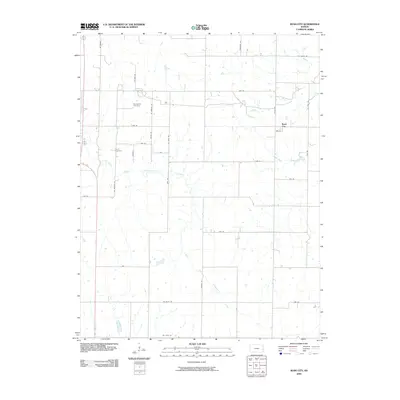
2009 Map of Bush City
USGS Topo · Published 2009About this map
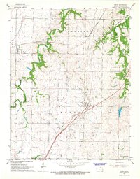
Bush City sits near the heart of this Anderson County landscape, where the prairie is defined by a dense grid of rural routes named for states, including Oregon Rd, Texas Rd, and Utah Rd. The drainage of the South Fork Pottawatomie Creek and its tributaries, Saline Creek and Sugar Creek, carves winding paths through the rectangular sections. For genealogists and local historians, the map documents the locations of Springfield Cemetery and Horn Cemetery, providing fixed points for family research in this agricultural region. The arrangement of roads and the persistence of these small burial grounds reflect a long-standing settlement pattern common across the Kansas plains, where small community hubs served the surrounding farmsteads.
Find a feature on this map
30 named features on this map. Tap any name to fly to it.
Don’t see what you’re looking for? This feature index may not catch every label — zoom into the map to look around manually.
Map Details
Editions of this 2009 Bush City Map
This is the sole edition of this map. No revisions or reprints were ever made.
Other maps of this area

1885 · Garnett
USGS Topo · 1:125,000

1894 · Garnett
USGS Topo · 1:125,000

1947 · Lawrence
USGS Topo · 1:250,000

1950 · Lawrence
USGS Topo · 1:250,000

1956 · Lawrence
USGS Topo · 1:250,000

1961 · Lawrence
USGS Topo · 1:250,000
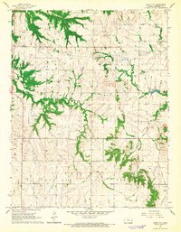
1966 · Bush City
USGS Topo · 1:24,000
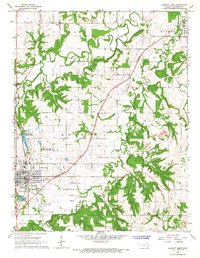
1966 · Garnett East
USGS Topo · 1:24,000
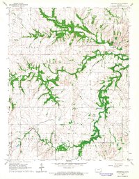
1966 · Centerville
USGS Topo · 1:24,000
1966 · Welda
USGS Topo · 1:24,000