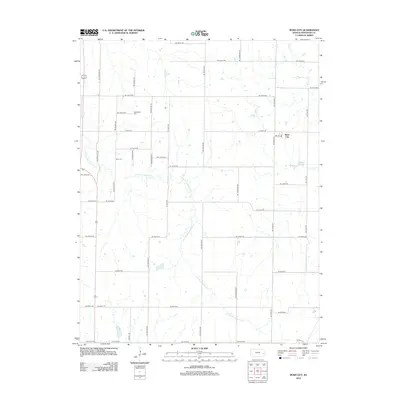
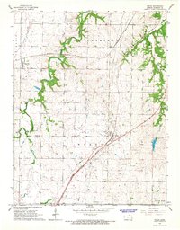
2012 Map of Bush City
USGS Topo · Published 2012About this map
Bush City serves as the primary focal point of this rural Anderson County landscape, situated amidst an extensive grid of section-line roads that define the region's agricultural character. The terrain is deeply influenced by the meandering path of the S Fork Pottawatomie Cr, which cuts diagonally across the quadrangle, joined by tributaries such as Sugar Cr and Saline Cr. This network of waterways creates a distinct contrast with the rigid symmetry of the surrounding road system, which uses state names like NE Nebraska Rd and NE Utah Rd for its north-south corridors. For local historians, the inclusion of Springfield Cem and Horn Cem provides essential grounding for family research in this part of Kansas, marking established points of community history near the small settlement of Bush City and its nearby Garrison Lake.
Find a feature on this map
45 named features on this map. Tap any name to fly to it.
Don’t see what you’re looking for? This feature index may not catch every label — zoom into the map to look around manually.
Map Details
Editions of this 2012 Bush City Map
This is the sole edition of this map. No revisions or reprints were ever made.
Other maps of this area

1885 · Garnett
USGS Topo · 1:125,000

1894 · Garnett
USGS Topo · 1:125,000

1947 · Lawrence
USGS Topo · 1:250,000

1950 · Lawrence
USGS Topo · 1:250,000

1956 · Lawrence
USGS Topo · 1:250,000

1961 · Lawrence
USGS Topo · 1:250,000
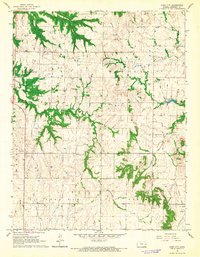
1966 · Bush City
USGS Topo · 1:24,000
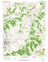
1966 · Garnett East
USGS Topo · 1:24,000
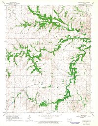
1966 · Centerville
USGS Topo · 1:24,000
1966 · Welda
USGS Topo · 1:24,000