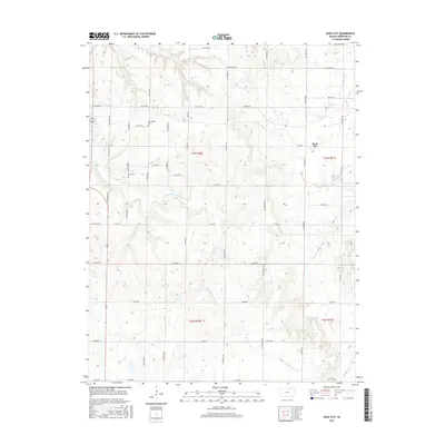
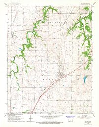
2015 Map of Bush City
USGS Topo · Published 2015About this map
S Fork Pottawatomie Cr meanders through this portion of Anderson County, defining a landscape of traditional section-line roads and rural intersections. The small community of Bush City serves as the primary settlement, situated along the eastern edge of the quadrangle. For those researching local heritage, the area maintains several significant landmarks, including Springfield Cem in the north and Horn Cem further west, which are key anchors for family history. The drainage network is particularly dense here, with Sugar Cr, Saline Cr, and Little Gus Cr all carving through the terrain. The inclusion of Garrison Lake provides a notable point of water management within this agricultural grid, where the transition between Townships 21 and 22 South is clearly delineated by the systematic road numbering.
Find a feature on this map
32 named features on this map. Tap any name to fly to it.
Don’t see what you’re looking for? This feature index may not catch every label — zoom into the map to look around manually.
Map Details
Editions of this 2015 Bush City Map
This is the sole edition of this map. No revisions or reprints were ever made.
Other maps of this area

1885 · Garnett
USGS Topo · 1:125,000

1894 · Garnett
USGS Topo · 1:125,000

1947 · Lawrence
USGS Topo · 1:250,000

1950 · Lawrence
USGS Topo · 1:250,000

1956 · Lawrence
USGS Topo · 1:250,000

1961 · Lawrence
USGS Topo · 1:250,000
1966 · Bush City
USGS Topo · 1:24,000
1966 · Garnett East
USGS Topo · 1:24,000
1966 · Centerville
USGS Topo · 1:24,000
1966 · Welda
USGS Topo · 1:24,000