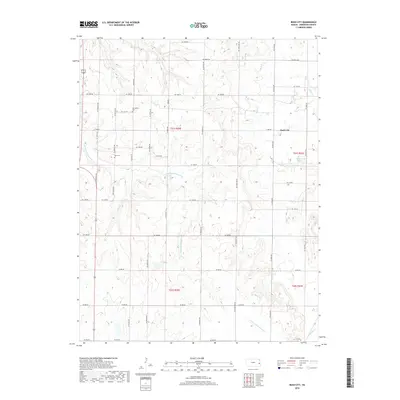
2018 Map of Bush City
USGS Topo · Published 2018About this map
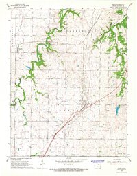
Bush City and the agricultural landscapes of Anderson County are defined by a network of sectional roads and the meandering drainage of S Fork Pottawatomie Cr. This rural corridor is punctuated by long-standing landmarks essential for genealogical research, such as Springfield Cem in the north and Horn Cem further south. The terrain is marked by the branching tributaries of Sugar Cr and Saline Cr, which drain the undulating fields. Near the settlement of Bush City, Garrison Lake provides a notable point of interest among the township lines of T21S and T22S. The strict grid of county roads, ranging from NE 1550 Rd to SW 700 Rd, illustrates the enduring organization of this Kansas farmland, where small family cemeteries and local watercourses like Little Gus Cr remain the primary geographical anchors.
Find a feature on this map
32 named features on this map. Tap any name to fly to it.
Don’t see what you’re looking for? This feature index may not catch every label — zoom into the map to look around manually.
Map Details
Editions of this 2018 Bush City Map
This is the sole edition of this map. No revisions or reprints were ever made.
Other maps of this area

1885 · Garnett
USGS Topo · 1:125,000

1894 · Garnett
USGS Topo · 1:125,000

1947 · Lawrence
USGS Topo · 1:250,000

1950 · Lawrence
USGS Topo · 1:250,000

1956 · Lawrence
USGS Topo · 1:250,000

1961 · Lawrence
USGS Topo · 1:250,000
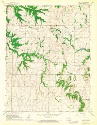
1966 · Bush City
USGS Topo · 1:24,000
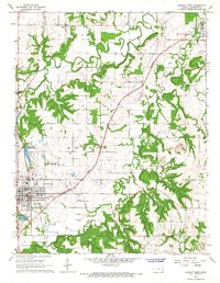
1966 · Garnett East
USGS Topo · 1:24,000
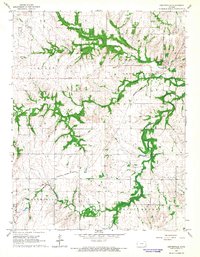
1966 · Centerville
USGS Topo · 1:24,000
1966 · Welda
USGS Topo · 1:24,000