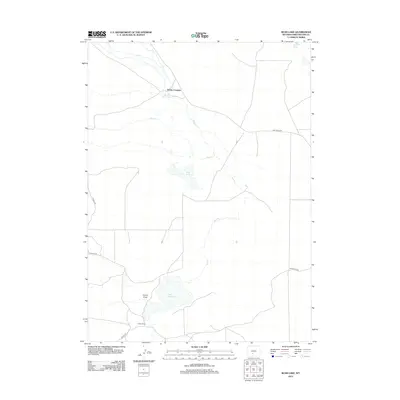
2012 Map of Bush Lake
USGS Topo · Published 2012About this map
Luman Ranch serves as a primary point of human activity in this arid landscape, situated in the southern reaches of the quadrangle. The area's hydrology is defined by seasonal and intermittent water sources, including the namesake Bush Lake and the ephemeral Red Cr and Bush Cr drainages. These natural features are supplemented by the Hay Reservoir and the more reliable Niland Spring, which provide essential water points for livestock and wildlife. Movement through this portion of Sweetwater County is facilitated by a sparse network of unpaved tracks such as Tipton N Rd and various Bureau of Land Management routes. The terrain is marked by significant topographical depressions and features like Cronin Draw and the designated Rocky Crossing, illustrating the challenges of navigating this open high-desert environment.
Find a feature on this map
11 named features on this map. Tap any name to fly to it.
Don’t see what you’re looking for? This feature index may not catch every label — zoom into the map to look around manually.
Map Details
Editions of this 2012 Bush Lake Map
This is the sole edition of this map. No revisions or reprints were ever made.
Other maps of this area

1954 · Rock Springs
USGS Topo · 1:250,000

1955 · Lander
USGS Topo · 1:250,000

1958 · Lander
USGS Topo · 1:250,000

1958 · Rock Springs
USGS Topo · 1:250,000

1960 · Red Lake
USGS Topo · 1:62,500

1960 · Lost Creek Butte
USGS Topo · 1:62,500

1960 · Five Fingers Butte
USGS Topo · 1:62,500

1960 · Lost Creek Lake
USGS Topo · 1:62,500

1961 · Lander
USGS Topo · 1:250,000

1962 · Rock Springs
USGS Topo · 1:250,000