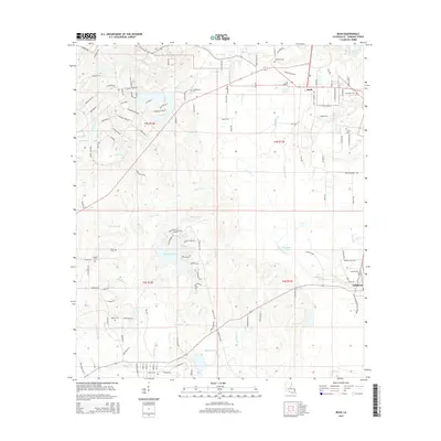
2015 Map of Bush
USGS Topo · Published 2015About this map
Bush and Talisheek serve as the primary nodes of settlement in this part of St. Tammany Parish, where the local economy is defined by a dense network of timberlands and small watercourses. The landscape is etched with numerous family-named landmarks and resting places, including Crawford Cem, Grantham Cem, and Lavinghouse Cem, providing vital clues for genealogical research. The hydrological profile of the region is notably complex, with the Bogue Chitto river and Talisheek Cr dominating the drainage patterns. Artificial features such as Goodyears Pond and Thurmans Pond suggest a history of local water management or industrial use. The survey also captures the transitional character of the area, where rural acreage meets growing residential developments indicated by streets like Churchill Downs Dr and Belmont Park Dr.
Find a feature on this map
128 named features on this map. Tap any name to fly to it.
Don’t see what you’re looking for? This feature index may not catch every label — zoom into the map to look around manually.
Map Details
Editions of this 2015 Bush Map
This is the sole edition of this map. No revisions or reprints were ever made.
Other maps of this area

1935 · Slidell
USGS Topo · 1:62,500

1935 · Covington
USGS Topo · 1:62,500

1939 · Slidell
USGS Topo · 1:62,500

1939 · Zona
USGS Topo · 1:31,680

1939 · Covington
USGS Topo · 1:62,500

1942 · Waldheim
USGS Topo · 1:31,680

1942 · Talisheek
USGS Topo · 1:31,680

1942 · Rio
USGS Topo · 1:31,680

1942 · Walkiah Bluff
USGS Topo · 1:31,680

1942 · Pools Bluff
USGS Topo · 1:31,680