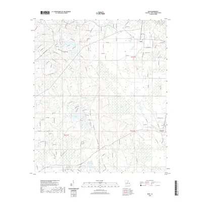
2020 Map of Bush
USGS Topo · Published 2020About this map
Bush and Talisheek serve as the primary hubs in this corner of St. Tammany Parish, where the Piney Woods landscape is defined by an intricate network of slow-moving waterways and bottomlands. The southern half of the map is dominated by the vast Talisheek Swamp, which feeds into systems like Talisheek Cr and Mule Bay. This hydrology influenced early settlement patterns, leaving behind numerous family and community burial grounds including Lavinghouse Cem, Quave Cem, and Cowart Cem.
Find a feature on this map
139 named features on this map. Tap any name to fly to it.
Don’t see what you’re looking for? This feature index may not catch every label — zoom into the map to look around manually.
Map Details
Editions of this 2020 Bush Map
This is the sole edition of this map. No revisions or reprints were ever made.
Other maps of this area

1935 · Slidell
USGS Topo · 1:62,500

1935 · Covington
USGS Topo · 1:62,500

1939 · Slidell
USGS Topo · 1:62,500

1939 · Zona
USGS Topo · 1:31,680

1939 · Covington
USGS Topo · 1:62,500

1942 · Waldheim
USGS Topo · 1:31,680

1942 · Talisheek
USGS Topo · 1:31,680

1942 · Rio
USGS Topo · 1:31,680

1942 · Walkiah Bluff
USGS Topo · 1:31,680

1942 · Pools Bluff
USGS Topo · 1:31,680