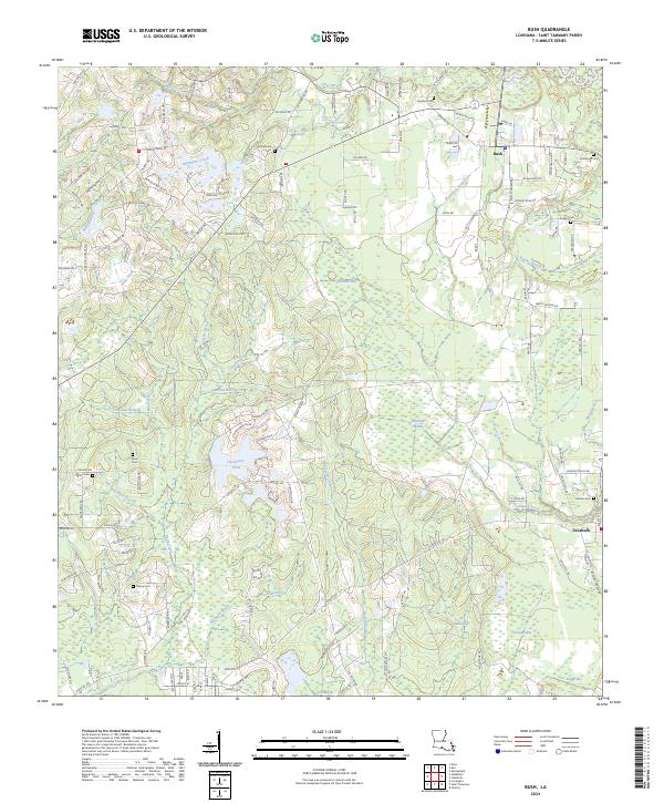
2024 Map of Bush
USGS Topo · Published 2024About this map
The low-lying pine lands of northeastern St. Tammany Parish are defined by the convergence of the Deer River and several major creek systems. The settlement of Bush serves as a central point in a landscape of family-named roads and remote burial sites, while further south, Talisheek marks the edge of the extensive Talisheek Swamp. The terrain is remarkably saturated, featuring a complex network of bays and breaks including Mule Bay, Gowpen Bay, and the Big Reed Break.
Find a feature on this map
144 named features on this map. Tap any name to fly to it.
Don’t see what you’re looking for? This feature index may not catch every label — zoom into the map to look around manually.
Map Details
Editions of this 2024 Bush Map
This is the sole edition of this map. No revisions or reprints were ever made.
Other maps of this area

1935 · Slidell
USGS Topo · 1:62,500

1935 · Covington
USGS Topo · 1:62,500

1939 · Slidell
USGS Topo · 1:62,500

1939 · Zona
USGS Topo · 1:31,680

1939 · Covington
USGS Topo · 1:62,500

1942 · Waldheim
USGS Topo · 1:31,680

1942 · Talisheek
USGS Topo · 1:31,680

1942 · Rio
USGS Topo · 1:31,680

1942 · Walkiah Bluff
USGS Topo · 1:31,680

1942 · Pools Bluff
USGS Topo · 1:31,680