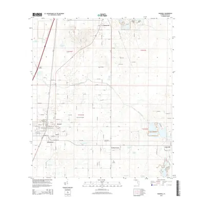
2015 Map of Bushnell
USGS Topo · Published 2015About this map
Bushnell serves as the focal point of this Sumter County landscape, where the intersection of traditional grid-style town planning meets the complex hydrology of Central Florida. The map illustrates a transitional geography defined by large open spaces like Towns Prairie and Clark Prairie, alongside a network of managed water systems such as the Jumper Cr Canal. Significant for family history research, the area is dotted with local burial grounds, including Evergreen Cem and Mount Zion Cem. The settlement pattern follows established county corridors, connecting smaller communities like Sumterville and Bevilles Corner. The presence of Cheryl-Lane Landings and Lincoln Park reflects the mid-to-late century residential expansion that characterizes the region's development. This 2015 survey provides an exact record of the wetlands and ponds, such as Sawgrass Pond and Ellis Lake, that dictate the placement of roads and homesteads across the limestone-underlaid terrain.
Find a feature on this map
119 named features on this map. Tap any name to fly to it.
Don’t see what you’re looking for? This feature index may not catch every label — zoom into the map to look around manually.
Map Details
Editions of this 2015 Bushnell Map
This is the sole edition of this map. No revisions or reprints were ever made.
Other maps of this area

1893 · Panasoffkee
USGS Topo · 1:62,500

1895 · Panasoffkee
USGS Topo · 1:62,500

1955 · Plant City
USGS Topo · 1:250,000

1955 · Orlando
USGS Topo · 1:250,000

1957 · Orlando
USGS Topo · 1:250,000

1958 · Orlando
USGS Topo · 1:250,000

1958 · Plant City
USGS Topo · 1:250,000

1958 · Webster
USGS Topo · 1:24,000

1958 · Bushnell
USGS Topo · 1:24,000

1958 · Wahoo
USGS Topo · 1:24,000