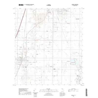
2018 Map of Bushnell
USGS Topo · Published 2018About this map
Sumterville and the surrounding central Florida landscape are characterized by a complex network of seasonal ponds and karst topography. The area's history is reflected in its numerous small burial grounds, ranging from the Panasoffkee Cem in the north to the Beville Family Cem and Love Cem near the eastern edge. Residential growth is visible at Cheryl-Lane Landings and within the organized street grids of Bushnell and Lincoln Park.
Find a feature on this map
138 named features on this map. Tap any name to fly to it.
Don’t see what you’re looking for? This feature index may not catch every label — zoom into the map to look around manually.
Map Details
Editions of this 2018 Bushnell Map
This is the sole edition of this map. No revisions or reprints were ever made.
Other maps of this area

1893 · Panasoffkee
USGS Topo · 1:62,500

1895 · Panasoffkee
USGS Topo · 1:62,500

1955 · Plant City
USGS Topo · 1:250,000

1955 · Orlando
USGS Topo · 1:250,000

1957 · Orlando
USGS Topo · 1:250,000

1958 · Orlando
USGS Topo · 1:250,000

1958 · Plant City
USGS Topo · 1:250,000

1958 · Webster
USGS Topo · 1:24,000

1958 · Bushnell
USGS Topo · 1:24,000

1958 · Wahoo
USGS Topo · 1:24,000