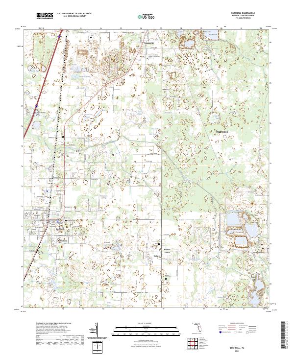
2024 Map of Bushnell
USGS Topo · Published 2024About this map
Bushnell serves as the focal point of this Sumter County landscape, anchored by the Sumter County Courthouse and the residential neighborhoods of Lincoln Park. The area is defined by a unique combination of citrus-era settlements and a complex drainage network, where the Jumper Creek Canal cuts through low-lying prairies like Clark Prairie and Dog Fennel Prairie. The map captures a transition toward modern educational infrastructure at the Lake Sumter State College - Sumterville Center, while maintaining its deeper roots through numerous family and community burial grounds.
Find a feature on this map
144 named features on this map. Tap any name to fly to it.
Don’t see what you’re looking for? This feature index may not catch every label — zoom into the map to look around manually.
Map Details
Editions of this 2024 Bushnell Map
This is the sole edition of this map. No revisions or reprints were ever made.
Other maps of this area

1893 · Panasoffkee
USGS Topo · 1:62,500

1895 · Panasoffkee
USGS Topo · 1:62,500

1955 · Plant City
USGS Topo · 1:250,000

1955 · Orlando
USGS Topo · 1:250,000

1957 · Orlando
USGS Topo · 1:250,000

1958 · Orlando
USGS Topo · 1:250,000

1958 · Plant City
USGS Topo · 1:250,000

1958 · Webster
USGS Topo · 1:24,000

1958 · Bushnell
USGS Topo · 1:24,000

1958 · Wahoo
USGS Topo · 1:24,000