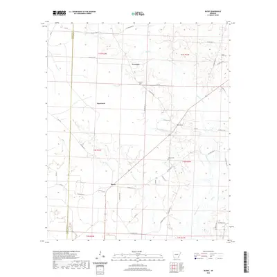
2020 Map of Bussey
USGS Topo · Published 2020About this map
Bussey and the surrounding rural landscape of eastern Columbia County are defined by a network of winding creek systems and small settlements. The terrain is dominated by the meandering course of Bayou Dorcheat and its various tributaries, including Crooked Cr and Mill Cr. These watercourses historically dictated the placement of homesteads and small communities like Friendship and Sharman, which are situated on higher ground between the drainage basins.
Find a feature on this map
48 named features on this map. Tap any name to fly to it.
Don’t see what you’re looking for? This feature index may not catch every label — zoom into the map to look around manually.
Map Details
Editions of this 2020 Bussey Map
This is the sole edition of this map. No revisions or reprints were ever made.
Other maps of this area

1952 · Bradley NE
USGS Topo · 1:24,000

1952 · Lewisville
USGS Topo · 1:24,000

1952 · Bradley SE
USGS Topo · 1:24,000

1953 · El Dorado
USGS Topo · 1:250,000

1957 · El Dorado
USGS Topo · 1:250,000

1958 · El Dorado
USGS Topo · 1:250,000

1960 · El Dorado
USGS Topo · 1:250,000

1960 · Bussey
USGS Topo · 1:24,000
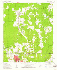
1960 · Taylor
USGS Topo · 1:24,000

1960 · Walkerville
USGS Topo · 1:24,000