
1960 Map of Walkerville
USGS Topo · Published 1961About this map
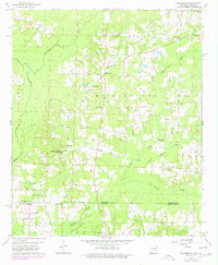
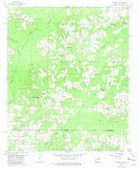
The Arkansas-Louisiana state line bisects this 1960 survey, marking a border region where agricultural clearing and industrial resource extraction meet. Centered on the community of Walkerville, the landscape is defined by the drainage basins of Dorcheat Bayou and Horsehead Creek, which wind through the township divisions of Buena Vista and Mississippi. The area's mid-century economic character is visible in the numerous oil wells and named extraction sites like the Horsehead Oil Field and Red Rock Oil Field.
Find a feature on this map
31 named features on this map. Tap any name to fly to it.
Don’t see what you’re looking for? This feature index may not catch every label — zoom into the map to look around manually.
Map Details
Editions of this 1960 Walkerville Map
3 editions found
Other maps of this area

1922 · Sarepta
USGS Topo · 1:62,500

1924 · Sarepta
USGS Topo · 1:62,500

1952 · Homer
USGS Topo · 1:62,500

1953 · El Dorado
USGS Topo · 1:250,000

1955 · Shreveport
USGS Topo · 1:250,000

1956 · Shreveport
USGS Topo · 1:250,000

1956 · Sarepta
USGS Topo · 1:62,500

1957 · El Dorado
USGS Topo · 1:250,000

1958 · El Dorado
USGS Topo · 1:250,000

1960 · El Dorado
USGS Topo · 1:250,000