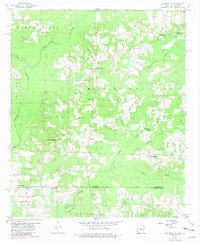
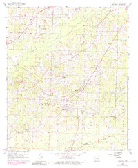
1960 Map of Walkerville
USGS Topo · Published 1981About this map
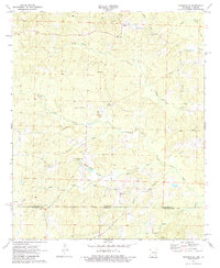
Walkerville and the surrounding borderlands of Arkansas and Louisiana appear here in a landscape defined by timber, water, and the extraction industry. The map captures the interface of Columbia County and Webster Parish, where the winding Bayou Dorcheat and Horsehead Creek drain the low-lying terrain. Rural life at this mid-century point is anchored by a network of community landmarks, including Hephzibah Ch and the Stewart-Walkerville Cem.
Find a feature on this map
30 named features on this map. Tap any name to fly to it.
Don’t see what you’re looking for? This feature index may not catch every label — zoom into the map to look around manually.
Map Details
Editions of this 1960 Walkerville Map
3 editions found
Historical Maps of Horsehead Through Time
54 maps found
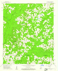
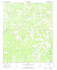
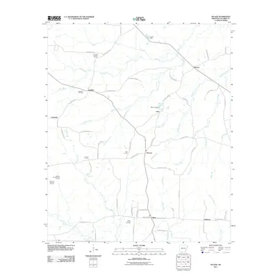
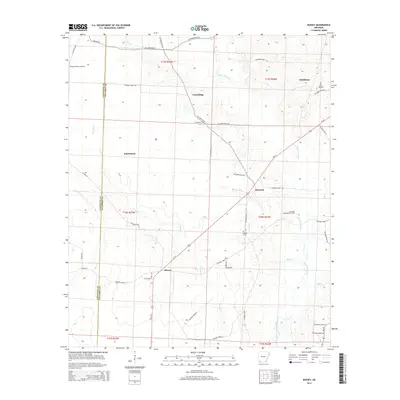
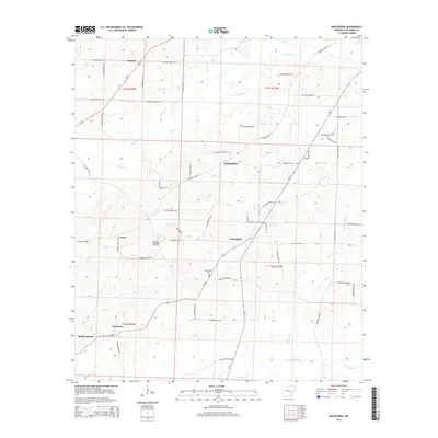
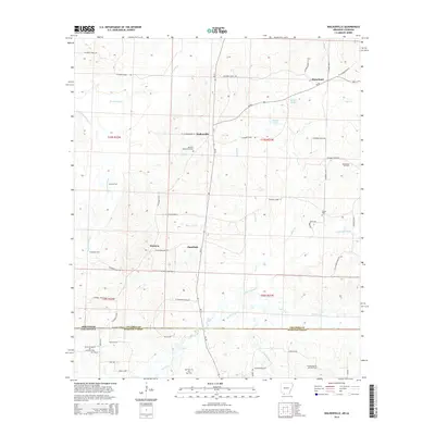
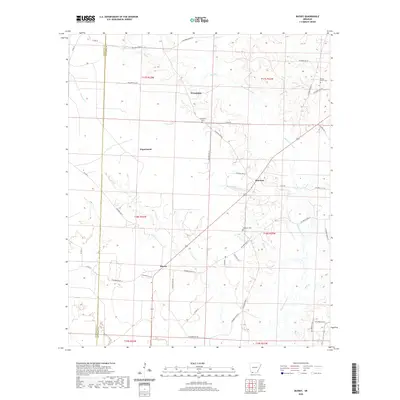
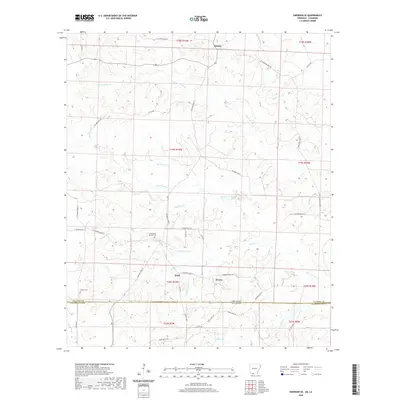
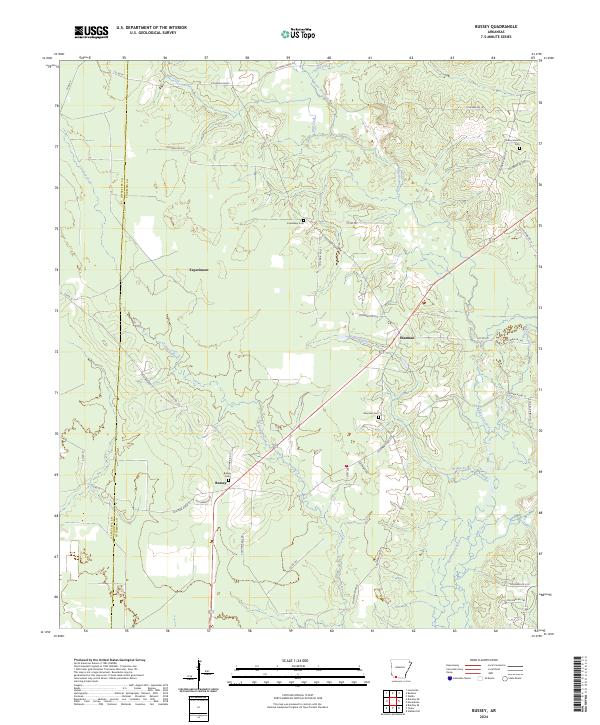
1960 Bussey
Columbia County, AR
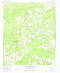
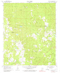
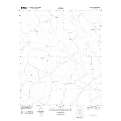
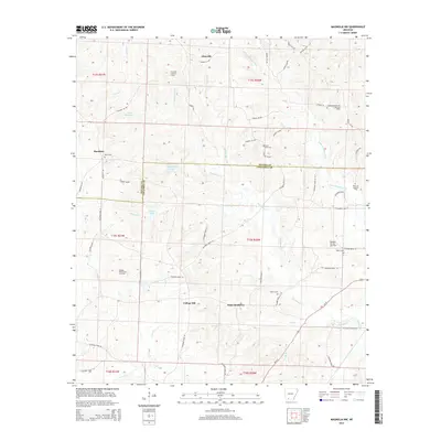
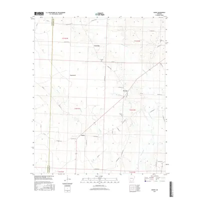
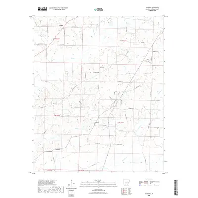
1960 Macedonia
Columbia County, AR
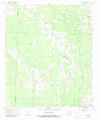
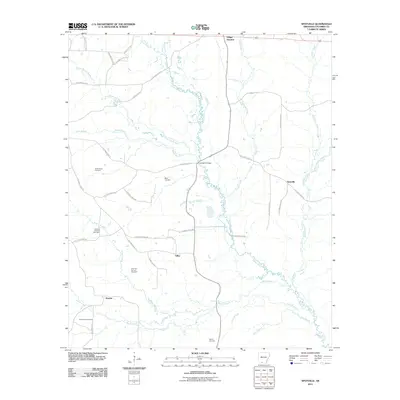
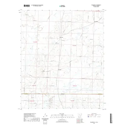
1960 Walkerville
Columbia County, AR
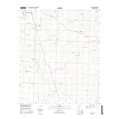
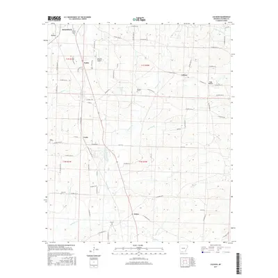
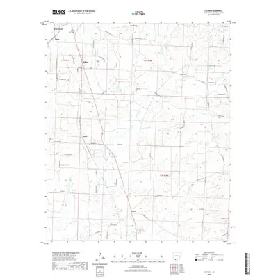
1966 Calhoun
Columbia County, AR
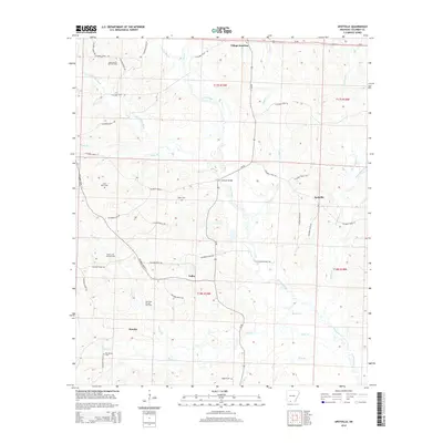
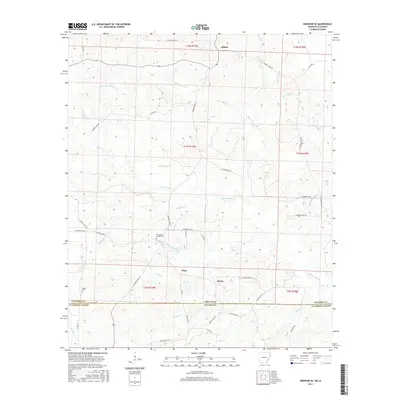
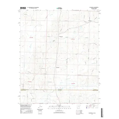
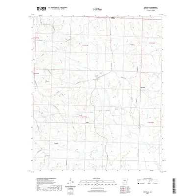
1966 Spotville
Columbia County, AR
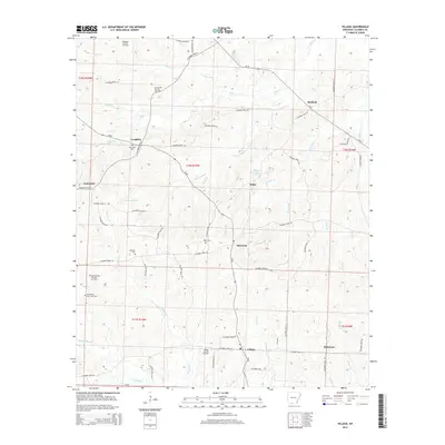
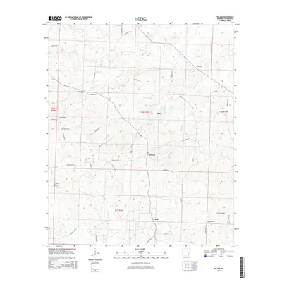
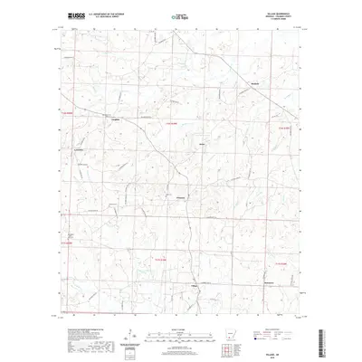
1966 Village
Columbia County, AR
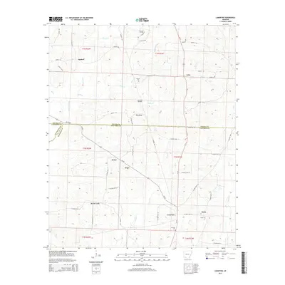
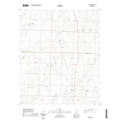
1968 Lamartine
Columbia County, AR
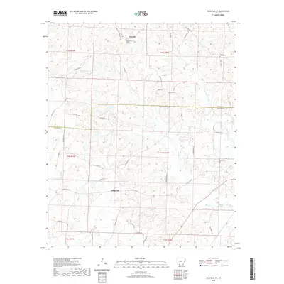
1969 Magnolia NW
Columbia County, AR
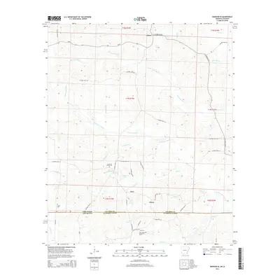
1971 Emerson SE
Columbia County, AR
2011 Bussey
Columbia County, AR
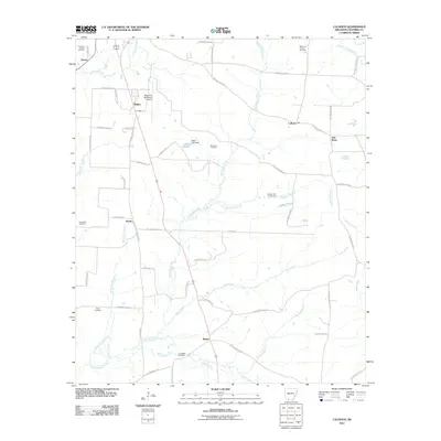
2011 Calhoun
Columbia County, AR
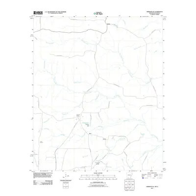
2011 Emerson SE
Columbia County, AR
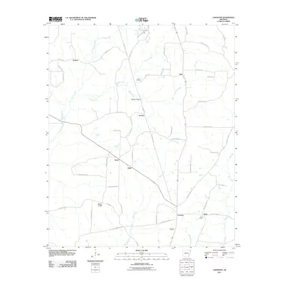
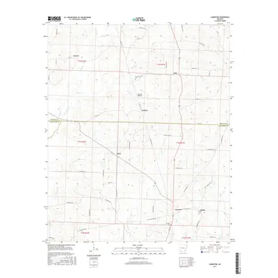
2011 Lamartine
Columbia County, AR
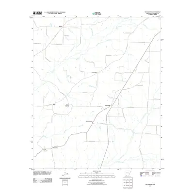
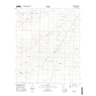
2011 Macedonia
Columbia County, AR
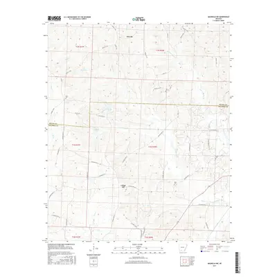
2011 Magnolia NW
Columbia County, AR
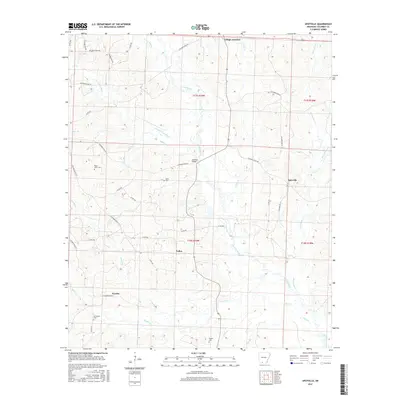
2011 Spotville
Columbia County, AR
2011 Village
Columbia County, AR
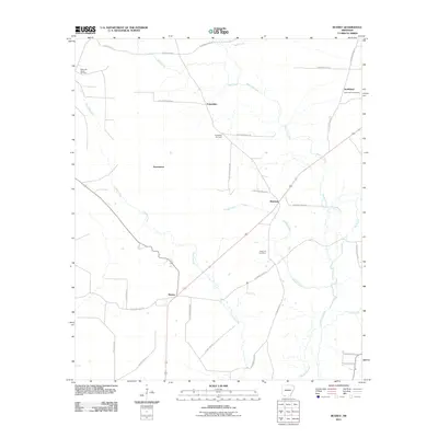
2011 Walkerville
Columbia County, AR
2014 Bussey
Columbia County, AR
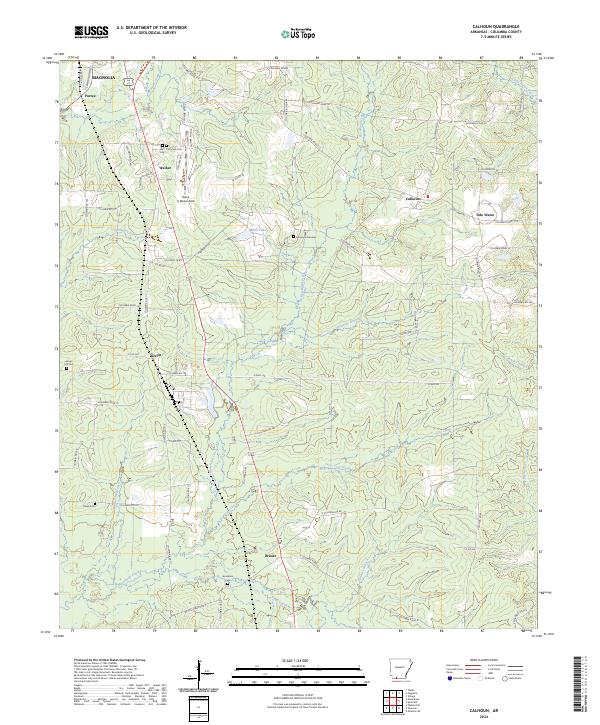
2014 Calhoun
Columbia County, AR
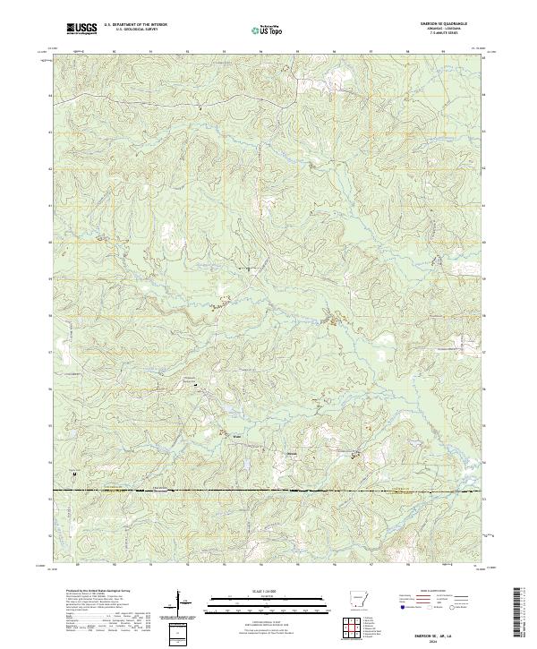
2014 Emerson SE
Columbia County, AR
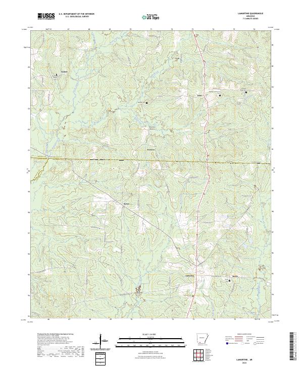
2014 Lamartine
Columbia County, AR
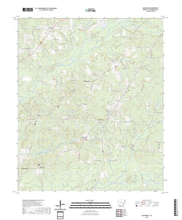
2014 Macedonia
Columbia County, AR
2014 Magnolia NW
Columbia County, AR
2014 Spotville
Columbia County, AR
2014 Village
Columbia County, AR
2014 Walkerville
Columbia County, AR
2017 Bussey
Columbia County, AR
2017 Calhoun
Columbia County, AR
2017 Emerson SE
Columbia County, AR
2017 Lamartine
Columbia County, AR
2017 Macedonia
Columbia County, AR
2017 Magnolia NW
Columbia County, AR
2017 Spotville
Columbia County, AR
2017 Village
Columbia County, AR
2017 Walkerville
Columbia County, AR
2020 Bussey
Columbia County, AR
2020 Calhoun
Columbia County, AR
2020 Emerson SE
Columbia County, AR
2020 Lamartine
Columbia County, AR
2020 Macedonia
Columbia County, AR
2020 Magnolia NW
Columbia County, AR
2020 Spotville
Columbia County, AR
2020 Village
Columbia County, AR
2020 Walkerville
Columbia County, AR
2024 Bussey
Columbia County, AR
2024 Calhoun
Columbia County, AR
2024 Emerson SE
Columbia County, AR
2024 Lamartine
Columbia County, AR
2024 Macedonia
Columbia County, AR
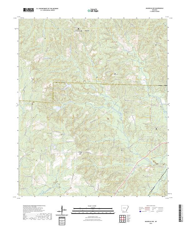
2024 Magnolia NW
Columbia County, AR
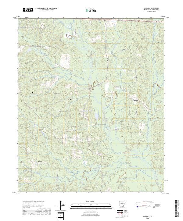
2024 Spotville
Columbia County, AR
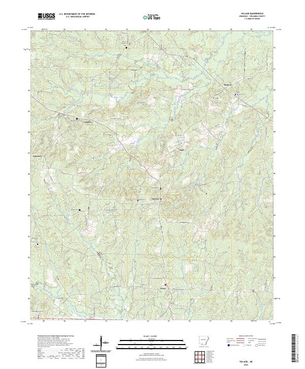
2024 Village
Columbia County, AR
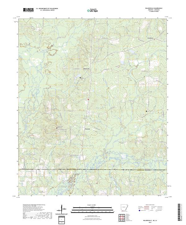
2024 Walkerville
Columbia County, AR