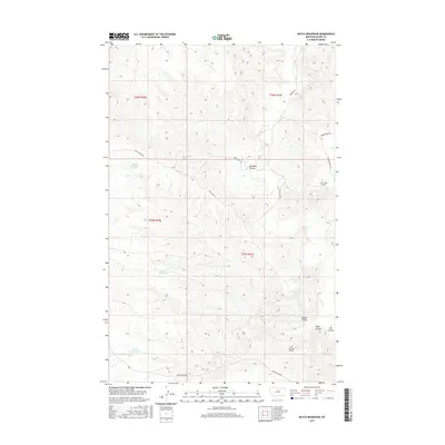
2017 Map of Butch Reservoir
USGS Topo · Published 2017About this map
Butch Reservoir and other small catchments like Wren Reservoir and Juniper Reservoir anchor this arid landscape in Blaine County. This high-plains terrain is defined by a series of significant drainage cuts, notably Davidson Coulee, Middle Coulee, and the forks of Left Coulee. The presence of small, remote landing strips such as Cow Creek Airport and Left Coulee Airport suggests the necessity of aerial access for ranching or land management in this sparsely populated region. Historical travel routes and ranch roads cross the territory, including the significant Cow Island Trl, which follows the high ridges between drainage basins. The map documents a landscape of essential water management and isolated transportation hubs, where roads like Bullwacker Rd and Timber Ridge Rd provide the primary links between the coulees and upland benches.
Find a feature on this map
19 named features on this map. Tap any name to fly to it.
Don’t see what you’re looking for? This feature index may not catch every label — zoom into the map to look around manually.
Map Details
Editions of this 2017 Butch Reservoir Map
This is the sole edition of this map. No revisions or reprints were ever made.
Other maps of this area

1943 · Landusky
USGS Topo · 1:125,000

1953 · Havre
USGS Topo · 1:250,000

1954 · Bird Rapids
USGS Topo · 1:24,000

1954 · Cow Island
USGS Topo · 1:24,000

1954 · Sturgeon Island
USGS Topo · 1:24,000

1954 · Lewistown
USGS Topo · 1:250,000

1956 · Rattlesnake
USGS Topo · 1:62,500

1957 · Havre
USGS Topo · 1:250,000

1958 · Havre
USGS Topo · 1:250,000

1959 · Lewistown
USGS Topo · 1:250,000