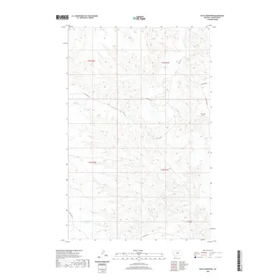
2020 Map of Butch Reservoir
USGS Topo · Published 2020About this map
Butch Reservoir and its neighboring catchments, Ween Reservoir and Juniper Reservoir, anchor this section of the Blaine County landscape. The area is defined by a sparse network of roads and trails that follow the natural contours of the high plains, including the historically resonant Cow Island Trl and the winding Bullwacker Rd. These routes, along with Birdtail Rd and Spencer Ridge Rd, reflect the logistical challenges of navigating this terrain, where water sources like Cow Cr are essential landmarks.
Find a feature on this map
15 named features on this map. Tap any name to fly to it.
Don’t see what you’re looking for? This feature index may not catch every label — zoom into the map to look around manually.
Map Details
Editions of this 2020 Butch Reservoir Map
This is the sole edition of this map. No revisions or reprints were ever made.
Other maps of this area

1943 · Landusky
USGS Topo · 1:125,000

1953 · Havre
USGS Topo · 1:250,000

1954 · Bird Rapids
USGS Topo · 1:24,000

1954 · Cow Island
USGS Topo · 1:24,000

1954 · Sturgeon Island
USGS Topo · 1:24,000

1954 · Lewistown
USGS Topo · 1:250,000

1956 · Rattlesnake
USGS Topo · 1:62,500

1957 · Havre
USGS Topo · 1:250,000

1958 · Havre
USGS Topo · 1:250,000

1959 · Lewistown
USGS Topo · 1:250,000