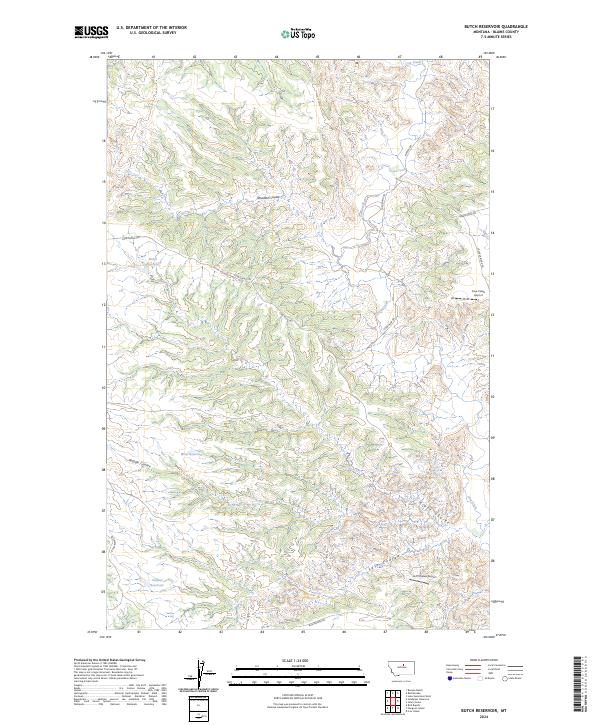
2024 Map of Butch Reservoir
USGS Topo · Published 2024About this map
Upper Missouri River Breaks National Monument defines the character of this Blaine County landscape, where the Missouri River's complex drainage system has carved a series of deep ravines. The map illustrates a network of seasonal water management and remote transit, centered around the Butch Reservoir, Wren Reservoir, and Juniper Reservoir. These features reflect the essential infrastructure of Montana's high plains, where water storage is vital for land use. Movement through this dissected terrain relies on historic routes such as the Cow Island Trl and Bullwhacker Rd, which navigate between prominent landforms like Middle Coulee and Davidson Coulee. The presence of the Cow Creek Airport and Left Coulee Airport underscores the isolation of the region, highlighting how aviation serves as a critical link for these remote ranching and conservation lands.
Find a feature on this map
21 named features on this map. Tap any name to fly to it.
Don’t see what you’re looking for? This feature index may not catch every label — zoom into the map to look around manually.
Map Details
Editions of this 2024 Butch Reservoir Map
This is the sole edition of this map. No revisions or reprints were ever made.
Other maps of this area

1943 · Landusky
USGS Topo · 1:125,000

1953 · Havre
USGS Topo · 1:250,000

1954 · Bird Rapids
USGS Topo · 1:24,000

1954 · Cow Island
USGS Topo · 1:24,000

1954 · Sturgeon Island
USGS Topo · 1:24,000

1954 · Lewistown
USGS Topo · 1:250,000

1956 · Rattlesnake
USGS Topo · 1:62,500

1957 · Havre
USGS Topo · 1:250,000

1958 · Havre
USGS Topo · 1:250,000

1959 · Lewistown
USGS Topo · 1:250,000