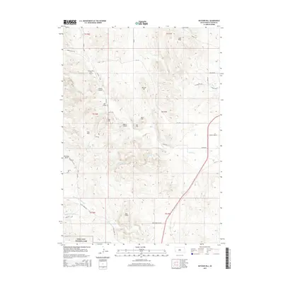
2015 Map of Butcher Hill
USGS Topo · Published 2015About this map
Butcher Hill rises above a complex landscape of drainages and high ridges in this 2015 study of Custer County. The map details a transition between protected wilderness and rural land, with the northern boundary of Wind Cave National Park anchoring the southern section. Notable watercourses including French Cr, Swint Cr, and Lame Johnny Cr carve through the terrain, defining the local geography alongside distinctive landforms like Racetrack Butte and Jolly Flats.
Find a feature on this map
39 named features on this map. Tap any name to fly to it.
Don’t see what you’re looking for? This feature index may not catch every label — zoom into the map to look around manually.
Map Details
Editions of this 2015 Butcher Hill Map
This is the sole edition of this map. No revisions or reprints were ever made.
Other maps of this area

1894 · Hermosa
USGS Topo · 1:125,000

1901 · Hermosa
USGS Topo · 1:125,000

1953 · Hermosa
USGS Topo · 1:24,000

1954 · Iron Mountain
USGS Topo · 1:24,000

1954 · Hayward
USGS Topo · 1:24,000

1954 · Mount Rushmore
USGS Topo · 1:62,500

1955 · Mt. Coolidge
USGS Topo · 1:24,000

1955 · Hot Springs
USGS Topo · 1:250,000
1957 · Wind Cave
USGS Topo · 1:24,000
1957 · Butcher Hill
USGS Topo · 1:24,000