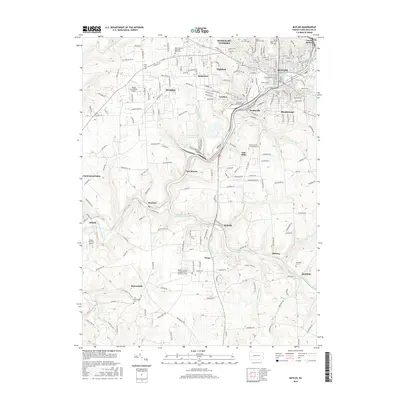
2016 Map of Butler
USGS Topo · Published 2016About this map
Butler serves as the focal point for this region of Western Pennsylvania, where a dense network of neighborhoods like Lyndora and Highfield meet the industrial legacy of the B & O RR. The landscape is defined by the winding course of Connoquenessing Creek and its many tributaries, which have shaped the location of settlements from Renfrew to McCalmont. Modern infrastructure, including the Butler County Airport / K W Scholter Field, operates alongside deep-rooted local history sites such as Old Brownsdale Cem and Rockdale Cem. Educational and recreational hubs like the Butler County Community College and Butler Memorial Park highlight the area's development into a multifaceted community core, while smaller hamlets like Nixon, Meharg, and Brownsdale retain their rural character among the hills and valleys.
Find a feature on this map
139 named features on this map. Tap any name to fly to it.
Don’t see what you’re looking for? This feature index may not catch every label — zoom into the map to look around manually.
Map Details
Editions of this 2016 Butler Map
This is the sole edition of this map. No revisions or reprints were ever made.
Other maps of this area

1906 · Sewickley
USGS Topo · 1:62,500

1908 · Sewickley
USGS Topo · 1:62,500

1908 · New Kensington
USGS Topo · 1:62,500

1908 · Zelienople
USGS Topo · 1:62,500

1909 · Butler
USGS Topo · 1:62,500

1910 · New Kensington
USGS Topo · 1:62,500

1910 · Zelienople
USGS Topo · 1:62,500

1911 · Butler
USGS Topo · 1:62,500

1950 · Valencia
USGS Topo · 1:24,000

1951 · Canton
USGS Topo · 1:250,000