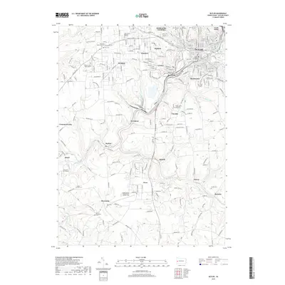
2019 Map of Butler
USGS Topo · Published 2019About this map
Butler serves as the focal point of this Pennsylvania landscape, where the Butler County Courthouse anchors a densely developed city center. The surrounding topography is defined by the winding course of Connoquenessing Creek and its tributaries, including Thorn Creek and Sawmill Run. Industrial and residential clusters like Lyndora and Homeacre-Lyndora spread outward from the city, while the southern reaches transition into a more rural pattern of named settlements such as McBride, Nixon, and Brownsdale.
Find a feature on this map
141 named features on this map. Tap any name to fly to it.
Don’t see what you’re looking for? This feature index may not catch every label — zoom into the map to look around manually.
Map Details
Editions of this 2019 Butler Map
This is the sole edition of this map. No revisions or reprints were ever made.
Other maps of this area

1906 · Sewickley
USGS Topo · 1:62,500

1908 · Sewickley
USGS Topo · 1:62,500

1908 · New Kensington
USGS Topo · 1:62,500

1908 · Zelienople
USGS Topo · 1:62,500

1909 · Butler
USGS Topo · 1:62,500

1910 · New Kensington
USGS Topo · 1:62,500

1910 · Zelienople
USGS Topo · 1:62,500

1911 · Butler
USGS Topo · 1:62,500

1950 · Valencia
USGS Topo · 1:24,000

1951 · Canton
USGS Topo · 1:250,000