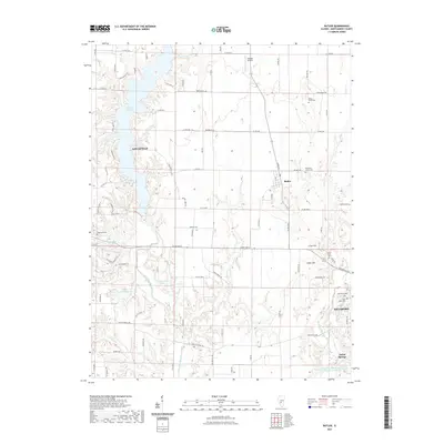
2021 Map of Butler
USGS Topo · Published 2021About this map
Lake Lou Yaeger dominates the western landscape of this Montgomery County region, where the reservoir's fingers stretch into the terrain near Litchfield. This modern topographical study captures a network of small Illinois communities including Butler, Hillsboro, and Taylor Springs. The map reveals a land defined by its water and industry, notably featuring the American Zinc Smelter Company Large Lake at the southern edge. Local history and genealogy are well-represented by numerous burial sites, such as Wares Grove Cem and Blooming Grove Cem, scattered along the rural road grid. The geography is punctuated by elevations like Cress Hill and Huber Hill, while the West Fork Shoal Creek and Brush Cr provide natural drainage between the established town centers and smaller landmarks like Justison Airport.
Find a feature on this map
85 named features on this map. Tap any name to fly to it.
Don’t see what you’re looking for? This feature index may not catch every label — zoom into the map to look around manually.
Map Details
Editions of this 2021 Butler Map
This is the sole edition of this map. No revisions or reprints were ever made.
Other maps of this area

1915 · Mount Olive
USGS Topo · 1:62,500

1923 · Raymond
USGS Topo · 1:62,500

1925 · Raymond
USGS Topo · 1:62,500

1944 · Mount Olive
USGS Topo · 1:62,500

1946 · Nokomis
USGS Topo · 1:62,500

1947 · Hillsboro
USGS Topo · 1:62,500

1949 · Hillsboro
USGS Topo · 1:62,500

1949 · Nokomis
USGS Topo · 1:62,500

1958 · Decatur
USGS Topo · 1:250,000

1961 · Decatur
USGS Topo · 1:250,000