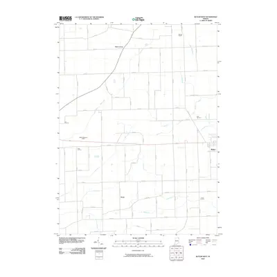
2010 Map of Butler West
USGS Topo · Published 2010About this map
Butler anchors the eastern edge of this DeKalb County landscape, where the flat agricultural plains of northeastern Indiana are defined by a complex grid of county roads and vital drainage infrastructure. The land is intricately managed by a series of engineered waterways such as Matson Ditch, King Ditch, and Harwood Ditch, which support the intensive farming characteristic of the region. This survey captures several small settlements and rural crossroads, including Taylor Corner and Moore, which remain connected by an extensive network of through-routes like CO RD 28. Aviation footprints are visible at Harrold Airport and the Walker-Waterloo Airport near the center of the sheet. For those tracing family histories, several burial grounds are preserved across the quadrangle, including Lutz Cemetery, Ridge Cemetery, and Krontz Cemetery, often situated at or near rural intersections that have served as community hubs for generations.
Find a feature on this map
52 named features on this map. Tap any name to fly to it.
Don’t see what you’re looking for? This feature index may not catch every label — zoom into the map to look around manually.
Map Details
Editions of this 2010 Butler West Map
This is the sole edition of this map. No revisions or reprints were ever made.
Other maps of this area

1939 · Hamilton
USGS Topo · 1:24,000

1940 · Metz
USGS Topo · 1:24,000

1942 · Ashley
USGS Topo · 1:24,000

1948 · Hamilton
USGS Topo · 1:24,000

1953 · Fort Wayne
USGS Topo · 1:250,000

1956 · Fort Wayne
USGS Topo · 1:250,000

1957 · Auburn
USGS Topo · 1:24,000

1957 · Waterloo
USGS Topo · 1:24,000

1958 · Hicksville
USGS Topo · 1:24,000

1958 · Butler West
USGS Topo · 1:24,000