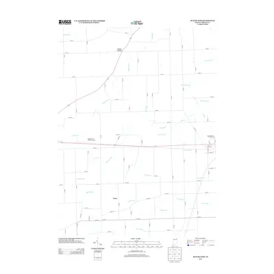
2013 Map of Butler West
USGS Topo · Published 2013About this map
Walker/Rowe Waterloo Airport anchors the central portion of this 2013 survey, situated along the corridor between the small rural hubs of Taylor Corner and Moore. The landscape is defined by an extensive and intricate network of engineered waterways, including Matson Ditch, Haverstock Ditch, and Hoodelmier Ditch, which manage the drainage of these Indiana fields for agricultural use. This sophisticated irrigation and drainage pattern is characteristic of DeKalb County, where the natural flow of Big Run is supplemented by named ditches such as Teutsch Ditch and Metcalf Ditch to support the surrounding farmland. The layout of the county roads, including the intersection of Co RD 40 and Co RD 51, provides a clear view of the rural settlement patterns and property divisions that have shaped the region into the twenty-first century.
Find a feature on this map
56 named features on this map. Tap any name to fly to it.
Don’t see what you’re looking for? This feature index may not catch every label — zoom into the map to look around manually.
Map Details
Editions of this 2013 Butler West Map
This is the sole edition of this map. No revisions or reprints were ever made.
Other maps of this area

1939 · Hamilton
USGS Topo · 1:24,000

1940 · Metz
USGS Topo · 1:24,000

1942 · Ashley
USGS Topo · 1:24,000

1948 · Hamilton
USGS Topo · 1:24,000

1953 · Fort Wayne
USGS Topo · 1:250,000

1956 · Fort Wayne
USGS Topo · 1:250,000

1957 · Auburn
USGS Topo · 1:24,000

1957 · Waterloo
USGS Topo · 1:24,000

1958 · Hicksville
USGS Topo · 1:24,000

1958 · Butler West
USGS Topo · 1:24,000