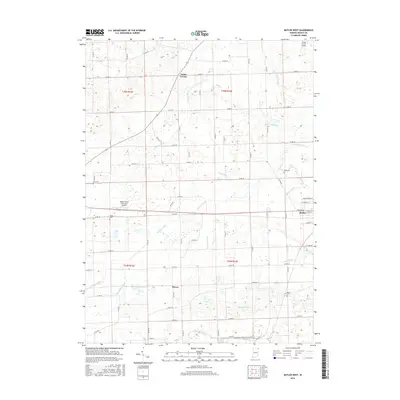
2016 Map of Butler West
USGS Topo · Published 2016About this map
Taylor Corner and the western outskirts of Butler define this DeKalb County landscape, where an extensive network of drainage infrastructure supports the region's agricultural productivity. The terrain is crisscrossed by numerous named waterways, including John Smith Ditch, Haverstock Ditch, and Matson Ditch, which indicate a highly managed hydrologic environment. Small family or community burial grounds are scattered throughout the rural sections, such as Lutz Cem, Ridge Cem, and Krontz Cem, serving as critical markers for local genealogical research.
Find a feature on this map
45 named features on this map. Tap any name to fly to it.
Don’t see what you’re looking for? This feature index may not catch every label — zoom into the map to look around manually.
Map Details
Editions of this 2016 Butler West Map
This is the sole edition of this map. No revisions or reprints were ever made.
Other maps of this area

1939 · Hamilton
USGS Topo · 1:24,000

1940 · Metz
USGS Topo · 1:24,000

1942 · Ashley
USGS Topo · 1:24,000

1948 · Hamilton
USGS Topo · 1:24,000

1953 · Fort Wayne
USGS Topo · 1:250,000

1956 · Fort Wayne
USGS Topo · 1:250,000

1957 · Auburn
USGS Topo · 1:24,000

1957 · Waterloo
USGS Topo · 1:24,000

1958 · Hicksville
USGS Topo · 1:24,000

1958 · Butler West
USGS Topo · 1:24,000