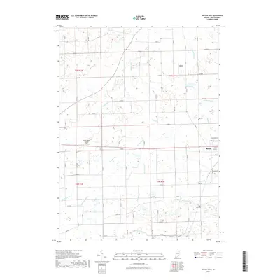
2019 Map of Butler West
USGS Topo · Published 2019About this map
The western edge of Butler serves as a primary hub in this portion of DeKalb County, where the grid of city streets like W Main St and Depot St transitions into the agricultural drainage systems that define the surrounding landscape. The area is heavily marked by a complex network of man-made waterways, including John Smith Ditch, Teutsch Ditch, and Metcalf Ditch, which redirect water through the flat terrain of northeast Indiana. Small rural clusters like Taylor Corner and Moore dot the countryside, connected by an extensive system of county roads such as Co RD 16 and Co RD 40. Local aviation history is represented by Harrold Airport and the Walker/Rowe Waterloo Airport. For those researching family history, several local burial grounds are detailed, including Lutz Cem, Ridge Cem, and Krontz Cem, which often represent the earliest established points in the county's townships.
Find a feature on this map
53 named features on this map. Tap any name to fly to it.
Don’t see what you’re looking for? This feature index may not catch every label — zoom into the map to look around manually.
Map Details
Editions of this 2019 Butler West Map
This is the sole edition of this map. No revisions or reprints were ever made.
Other maps of this area

1939 · Hamilton
USGS Topo · 1:24,000

1940 · Metz
USGS Topo · 1:24,000

1942 · Ashley
USGS Topo · 1:24,000

1948 · Hamilton
USGS Topo · 1:24,000

1953 · Fort Wayne
USGS Topo · 1:250,000

1956 · Fort Wayne
USGS Topo · 1:250,000

1957 · Auburn
USGS Topo · 1:24,000

1957 · Waterloo
USGS Topo · 1:24,000

1958 · Hicksville
USGS Topo · 1:24,000

1958 · Butler West
USGS Topo · 1:24,000