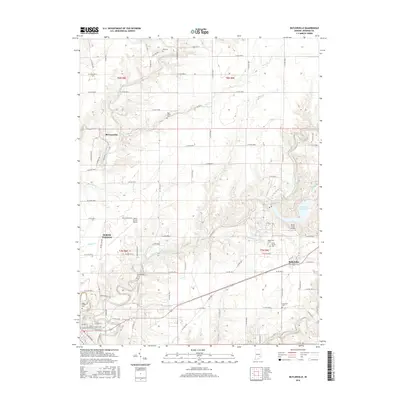
2016 Map of Butlerville
USGS Topo · Published 2016About this map
The Vernon Fork Muscatatuck River carves a winding path across this Jennings County landscape, anchoring a rural region defined by dispersed settlements and local cemeteries. Near the eastern edge, the town of Butlerville serves as a local hub, situated close to the Butlerville Cem and the uniquely named State School Cem. To the west, the outskirts of North Vernon are visible, supported by the North Vernon Airport and the smaller Brush Creek Airport.
Find a feature on this map
67 named features on this map. Tap any name to fly to it.
Don’t see what you’re looking for? This feature index may not catch every label — zoom into the map to look around manually.
Map Details
Editions of this 2016 Butlerville Map
This is the sole edition of this map. No revisions or reprints were ever made.
Other maps of this area

1942 · Columbus
USGS Topo · 1:125,000

1953 · Cincinnati
USGS Topo · 1:250,000

1956 · Louisville
USGS Topo · 1:250,000

1957 · Cincinnati
USGS Topo · 1:250,000

1957 · Butlerville
USGS Topo · 1:24,000

1957 · North Vernon
USGS Topo · 1:24,000

1958 · Millhousen
USGS Topo · 1:24,000

1958 · Westport
USGS Topo · 1:24,000

1958 · Grammer
USGS Topo · 1:24,000

1959 · Holton
USGS Topo · 1:24,000