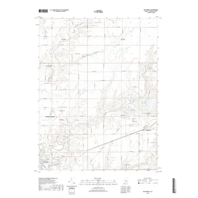
2019 Map of Butlerville
USGS Topo · Published 2019About this map
The Vernon Fork Muscatatuck River snakes through the center of this Jennings County landscape, creating a complex drainage network that includes Brush Creek, Otter Creek, and Sand Creek. The area is anchored by the eastern edge of North Vernon and the smaller community of Butlerville. Local history is preserved in numerous burial grounds across the townships, from the Day Cem and Bear Creek Cem in the north to the Hopewell Cem and Summerfield Cem further south. Aviation infrastructure is prominent with both the North Vernon Airport and the Brush Creek Airport appearing on the map. The terrain is marked by the distinct elevation changes of the river valleys, contrasting with the structured grid of county roads like E Co RD 900 N and N Base Rd.
Find a feature on this map
99 named features on this map. Tap any name to fly to it.
Don’t see what you’re looking for? This feature index may not catch every label — zoom into the map to look around manually.
Map Details
Editions of this 2019 Butlerville Map
This is the sole edition of this map. No revisions or reprints were ever made.
Other maps of this area

1942 · Columbus
USGS Topo · 1:125,000

1953 · Cincinnati
USGS Topo · 1:250,000

1956 · Louisville
USGS Topo · 1:250,000

1957 · Cincinnati
USGS Topo · 1:250,000

1957 · Butlerville
USGS Topo · 1:24,000

1957 · North Vernon
USGS Topo · 1:24,000

1958 · Millhousen
USGS Topo · 1:24,000

1958 · Westport
USGS Topo · 1:24,000

1958 · Grammer
USGS Topo · 1:24,000

1959 · Holton
USGS Topo · 1:24,000