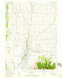
1954 Map of Butte City
USGS Topo · Published 1959About this map
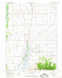
The Sacramento River defines the western edge of this landscape, winding past Butte City and its river-adjacent Butte City Cem. This mid-century survey illustrates a complex hydraulic environment dominated by irrigation canals and drainage sloughs, such as Angel Slough and Sanborn Slough, which support both agricultural reclamation and extensive seasonal wetlands. The southern portion of the map is dramatically punctuated by the volcanic rise of the Sutter Buttes, including Peace Valley, providing a sharp contrast to the surrounding alluvial plains.
Find a feature on this map
44 named features on this map. Tap any name to fly to it.
Don’t see what you’re looking for? This feature index may not catch every label — zoom into the map to look around manually.
Map Details
Editions of this 1954 Butte City Map
2 editions found
Other maps of this area

1888 · Marysville
USGS Topo · 1:125,000

1891 · Chico
USGS Topo · 1:125,000

1891 · Marysville
USGS Topo · 1:125,000

1893 · Chico
USGS Topo · 1:125,000

1894 · Marysville
USGS Topo · 1:125,000

1895 · Marysville
USGS Topo · 1:125,000

1895 · Chico
USGS Topo · 1:125,000

1906 · Maxwell
USGS Topo · 1:62,500

1906 · Willows
USGS Topo · 1:62,500

1907 · Colusa
USGS Topo · 1:62,500