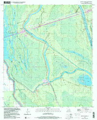
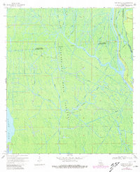
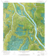
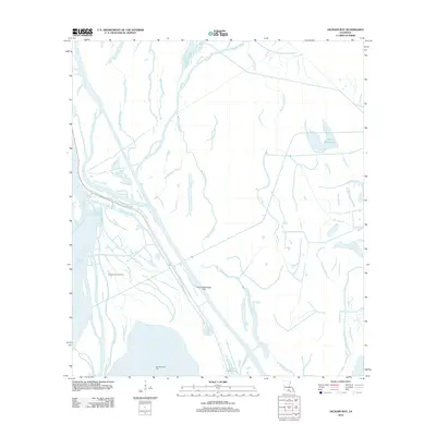
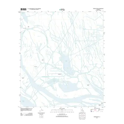
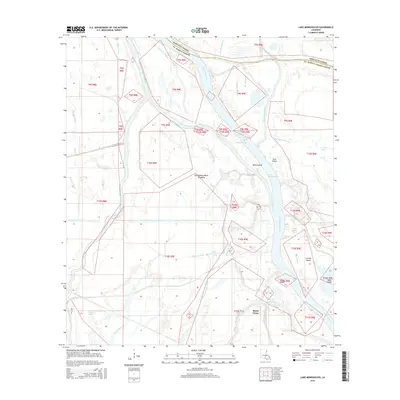
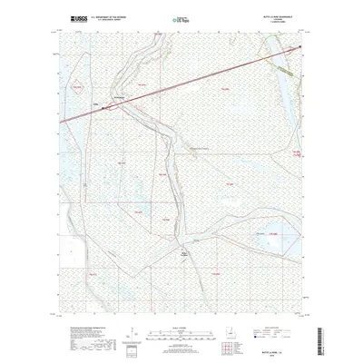
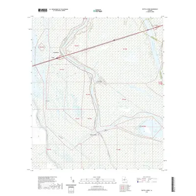
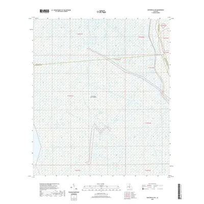
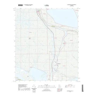
1999 Map of Butte La Rose
USGS Topo · Published 2000About this map
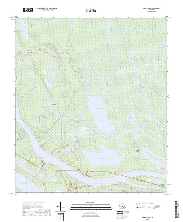
The Atchafalaya River dominates this corner of the Atchafalaya Basin, where a complex network of bayous and lakes defines the geography of St. Martin and Iberville Parishes. The small settlement of Butte La Rose sits at a critical junction near where the Little Atchafalaya River and Bayou La Rose diverge. This 1999 photoinspection reveals the deep water infrastructure required for the region's energy and transport economy, including a Gas Well and the prominent Atchafalaya Radio Tower.
Find a feature on this map
34 named features on this map. Tap any name to fly to it.
Don’t see what you’re looking for? This feature index may not catch every label — zoom into the map to look around manually.
Map Details
Editions of this 1999 Butte La Rose Map
This is the sole edition of this map. No revisions or reprints were ever made.
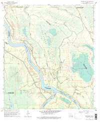
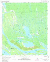
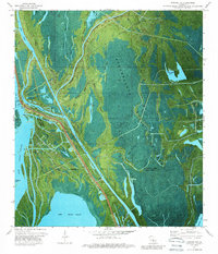
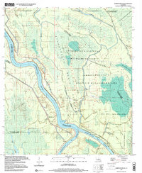
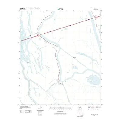
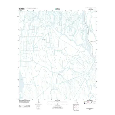
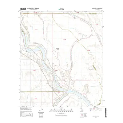
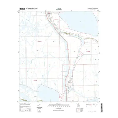
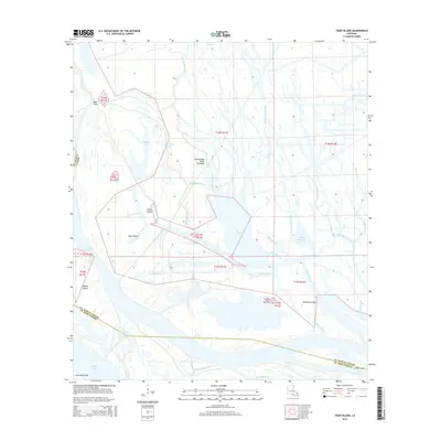
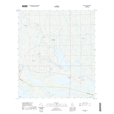
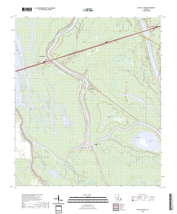
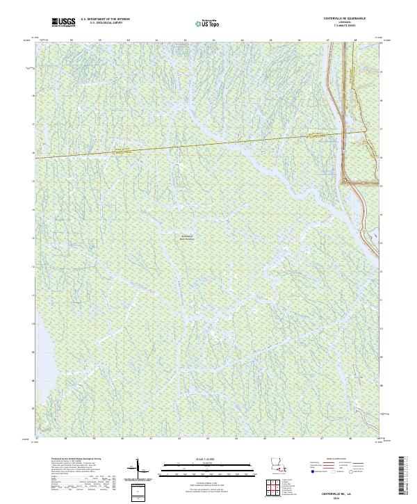
Historical Maps of Pelba Through Time
46 maps found
1939 St. Martinsville
St. Martin Parish, LA

1948 Foster
St. Martin Parish, LA
1966 Napoleonville SW
St. Martin Parish, LA
1968 Butte La Rose
St. Martin Parish, LA
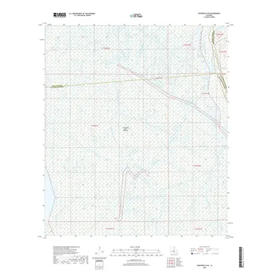
1969 Centerville NE
St. Martin Parish, LA
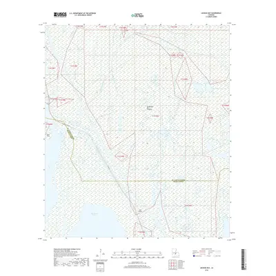
1969 Maringouin NW
St. Martin Parish, LA
1969 Tiger Island
St. Martin Parish, LA
1973 Jackass Bay
St. Martin Parish, LA
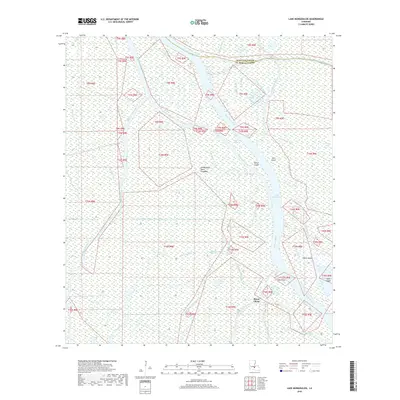
1973 Lake Mongoulois
St. Martin Parish, LA
1999 Butte La Rose
St. Martin Parish, LA
1999 Maringouin NW
St. Martin Parish, LA
2012 Butte La Rose
St. Martin Parish, LA
2012 Centerville NE
St. Martin Parish, LA
2012 Jackass Bay
St. Martin Parish, LA
2012 Lake Mongoulois
St. Martin Parish, LA
2012 Maringouin NW
St. Martin Parish, LA
2012 Napoleonville SW
St. Martin Parish, LA
2012 Tiger Island
St. Martin Parish, LA
2015 Butte La Rose
St. Martin Parish, LA
2015 Centerville NE
St. Martin Parish, LA
2015 Jackass Bay
St. Martin Parish, LA
2015 Lake Mongoulois
St. Martin Parish, LA
2015 Maringouin NW
St. Martin Parish, LA
2015 Napoleonville SW
St. Martin Parish, LA
2015 Tiger Island
St. Martin Parish, LA
2018 Butte La Rose
St. Martin Parish, LA
2018 Centerville NE
St. Martin Parish, LA
2018 Jackass Bay
St. Martin Parish, LA
2018 Lake Mongoulois
St. Martin Parish, LA
2018 Maringouin NW
St. Martin Parish, LA
2018 Napoleonville SW
St. Martin Parish, LA
2018 Tiger Island
St. Martin Parish, LA
2020 Butte La Rose
St. Martin Parish, LA
2020 Centerville NE
St. Martin Parish, LA
2020 Jackass Bay
St. Martin Parish, LA
2020 Lake Mongoulois
St. Martin Parish, LA
2020 Maringouin NW
St. Martin Parish, LA
2020 Napoleonville SW
St. Martin Parish, LA
2020 Tiger Island
St. Martin Parish, LA
2024 Butte La Rose
St. Martin Parish, LA
2024 Centerville NE
St. Martin Parish, LA
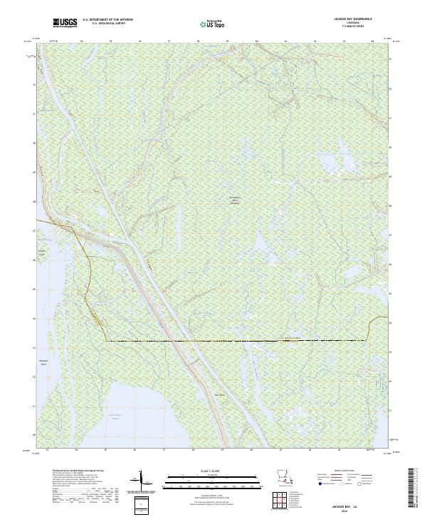
2024 Jackass Bay
St. Martin Parish, LA
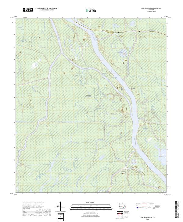
2024 Lake Mongoulois
St. Martin Parish, LA
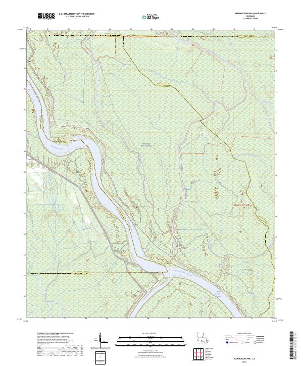
2024 Maringouin NW
St. Martin Parish, LA
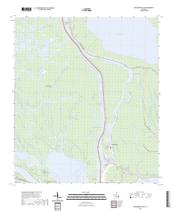
2024 Napoleonville SW
St. Martin Parish, LA
2024 Tiger Island
St. Martin Parish, LA