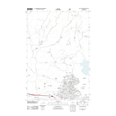
2011 Map of Butte North
USGS Topo · Published 2011About this map
Butte and its surrounding mining districts dominate this 21st-century landscape, illustrating the industrial footprint of one of the West's most famous copper camps. The map details the dense cluster of claims and shafts in the Walkerville and Centerville areas, where names like the Magna Charta Mine and Granite Mountain Mine reflect a legacy of deep-earth extraction. The urban grid is heavily influenced by the topography and the mining operations themselves, with the Montana Tech campus situated on the slopes of Big Butte.
Find a feature on this map
133 named features on this map. Tap any name to fly to it.
Don’t see what you’re looking for? This feature index may not catch every label — zoom into the map to look around manually.
Map Details
Editions of this 2011 Butte North Map
This is the sole edition of this map. No revisions or reprints were ever made.
Other maps of this area

1889 · Helena
USGS Topo · 1:250,000

1893 · Helena
USGS Topo · 1:250,000

1893 · Dillon
USGS Topo · 1:250,000

1899 · Boulder
USGS Topo · 1:125,000

1899 · Helena
USGS Topo · 1:250,000

1903 · Helena
USGS Topo · 1:250,000

1947 · Butte
USGS Topo · 1:250,000

1954 · Elk Park
USGS Topo · 1:62,500

1955 · Dillon
USGS Topo · 1:250,000

1957 · Dillon
USGS Topo · 1:250,000