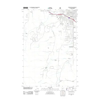
2011 Map of Butte South
USGS Topo · Published 2011About this map
Butte serves as the focal point of this 2011 survey, showing the city's southern expansion and its complex network of civic and memorial infrastructure. The map documents several significant local landmarks, including the historic cluster of the Mount Moriah Cemetery, Saint Patrick Cemetery, and B'Nai Israel Cemetery nestled near the city center. The landscape transitions from urban residential streets like McKinley Ave and Schley Ave to the open terrain of Timber Butte and Grove Gulch.
Find a feature on this map
95 named features on this map. Tap any name to fly to it.
Don’t see what you’re looking for? This feature index may not catch every label — zoom into the map to look around manually.
Map Details
Editions of this 2011 Butte South Map
This is the sole edition of this map. No revisions or reprints were ever made.
Other maps of this area

1889 · Helena
USGS Topo · 1:250,000

1893 · Helena
USGS Topo · 1:250,000

1893 · Dillon
USGS Topo · 1:250,000

1899 · Boulder
USGS Topo · 1:125,000

1899 · Helena
USGS Topo · 1:250,000

1903 · Helena
USGS Topo · 1:250,000

1947 · Butte
USGS Topo · 1:250,000

1954 · Elk Park
USGS Topo · 1:62,500

1955 · Dillon
USGS Topo · 1:250,000

1957 · Dillon
USGS Topo · 1:250,000