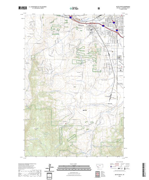
2024 Map of Butte South
USGS Topo · Published 2024About this map
Williamsburg and the southern outskirts of Butte anchor this survey, revealing a landscape where urban expansion meets the protected slopes of the Deerlodge National Forest. The map documents a significant concentration of commemorative sites including Mount Moriah Cem, B'Nai Israel Cem, and Saint Patrick's Cem, which reflect the community's diverse heritage. To the south, the industrial and aviation footprint is clear near Bert Mooney Airport and the Montana Technological University - Highlands College campus.
Find a feature on this map
160 named features on this map. Tap any name to fly to it.
Don’t see what you’re looking for? This feature index may not catch every label — zoom into the map to look around manually.
Map Details
Editions of this 2024 Butte South Map
This is the sole edition of this map. No revisions or reprints were ever made.
Other maps of this area

1889 · Helena
USGS Topo · 1:250,000

1893 · Helena
USGS Topo · 1:250,000

1893 · Dillon
USGS Topo · 1:250,000

1899 · Boulder
USGS Topo · 1:125,000

1899 · Helena
USGS Topo · 1:250,000

1903 · Helena
USGS Topo · 1:250,000

1947 · Butte
USGS Topo · 1:250,000

1954 · Elk Park
USGS Topo · 1:62,500

1955 · Dillon
USGS Topo · 1:250,000

1957 · Dillon
USGS Topo · 1:250,000