Loading...
Loading map...2022 Map of Butterfield
USGS Topo · Published 2022About this map
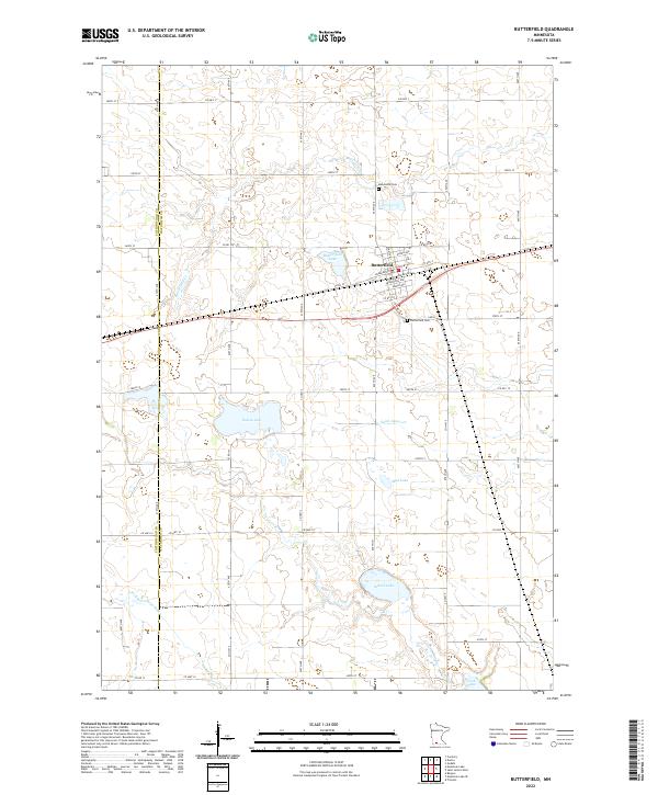
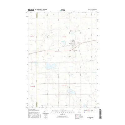
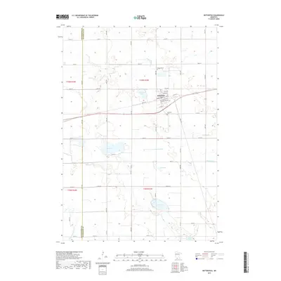
Butterfield serves as the central hub for this portion of the northern plains, situated at the boundary of Cottonwood and Watonwan counties. The town's grid is detailed with street-level precision, including Elwell Ave, Hubbard Ave, and Armstrong Ave. This agrarian landscape is defined by its numerous prairie lakes and wetlands, ranging from the centrally located Butterfield Lake to Sulem Lake, School Lake, and Irish Lake in the south.
Find a feature on this map
40 named features on this map. Tap any name to fly to it.
Don’t see what you’re looking for? This feature index may not catch every label — zoom into the map to look around manually.
Map Details
Date Portrayed2022
Date Published2022
PublisherU.S. Geological Survey
Map TypeTopographic
Scale1:24,000
Physical Dimensions24 x 29 inches
Editions of this 2022 Butterfield Map
This is the sole edition of this map. No revisions or reprints were ever made.
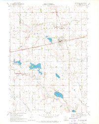
Historical Maps of Butterfield Through Time
6 maps found
Featured Locations
Source Details
SourceU.S. Geological Survey
CopyrightPublic Domain