Loading...
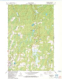
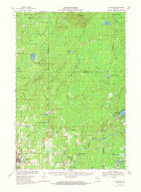
Loading map...1984 Map of Butternut
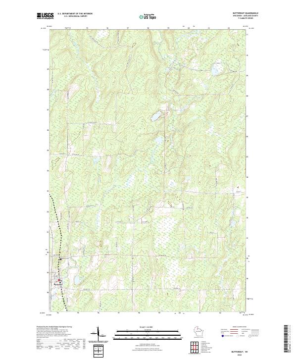
USGS Topo · Published 1984About this map
The Butternut village center and surrounding Northwoods townships of Peeksville and Agenda are depicted in this 1980s-era topographical study. The landscape is defined by the winding East Fork Chippewa River and a dense network of water bodies including Cycle Lake, Little Butternut Lake, and Parker Lake. The village itself is situated near the confluence of Butternut Creek and Smith Creek, featuring a local Cemetery and utility infrastructure like the Sew Disp Ponds.
Find a feature on this map
43 named features on this map. Tap any name to fly to it.
Don’t see what you’re looking for? This feature index may not catch every label — zoom into the map to look around manually.
Map Details
Date Portrayed1984
Date Published1984
PublisherU.S. Geological Survey
Map TypeTopographic
Scale1:24,000
Physical Dimensions21.56 x 27.25 inches
Editions of this 1984 Butternut Map
This is the sole edition of this map. No revisions or reprints were ever made.
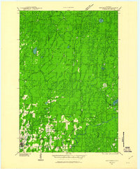
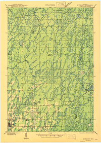
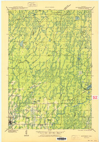
Historical Maps of Butternut Through Time
6 maps found
Featured Locations
Source Details
SourceU.S. Geological Survey
CopyrightPublic Domain