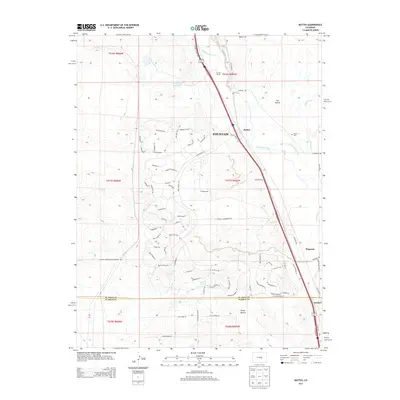
2013 Map of Buttes
USGS Topo · Published 2013About this map
Fountain Creek and the arterial corridor of Interstate 25 dominate this landscape south of Fountain, where the transition from El Paso to Pueblo County unfolds across a mix of ranching lands and modern residential subdivisions. The eastern side of the drainage is defined by The Buttes and the historic Wilson Cem, while the western hills are etched with a dense network of residential street names like Paleface Pt and Ghost Walk Pt. Water management is central to the area's utility, evidenced by the R D Nixon Reservoir and the Cotton Slough Ditch, which divert and manage the flow of Little Fountain Cr and Sand Creek. Smaller locales such as Wigwam and Henkel sit near the county line, representing established points along the north-south transportation routes that have historically connected these Colorado communities.
Find a feature on this map
90 named features on this map. Tap any name to fly to it.
Don’t see what you’re looking for? This feature index may not catch every label — zoom into the map to look around manually.
Map Details
Editions of this 2013 Buttes Map
This is the sole edition of this map. No revisions or reprints were ever made.
Other maps of this area

1891 · Pueblo
USGS Topo · 1:125,000

1893 · Colorado Springs
USGS Topo · 1:125,000

1894 · Pueblo
USGS Topo · 1:125,000

1896 · Pueblo
USGS Topo · 1:125,000

1897 · Pueblo
USGS Topo · 1:125,000

1909 · Colorado Springs
USGS Topo · 1:125,000

1942 · Colorado Springs
USGS Topo · 1:125,000

1948 · Timber Mountain
USGS Topo · 1:24,000

1948 · Fountain SE
USGS Topo · 1:24,000

1948 · Fountain
USGS Topo · 1:24,000