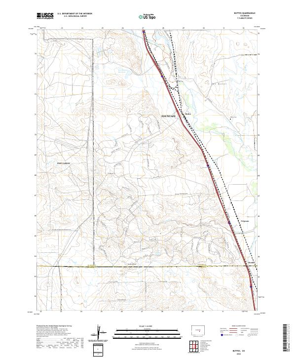
2022 Map of Buttes
USGS Topo · Published 2022About this map
Fountain Creek winds through the eastern portion of this landscape, flanked by the high ground of The Buttes and the small settlements of Buttes, Wigwam, and Henkel. The terrain is defined by a complex network of arroyos and canyons, including Sand Creek and Young Hollow, which drain toward the central valley. Genealogy researchers will find the Wilson Cem near Williams Cr, while the presence of the R D Nixon Reservoir and various irrigation works like the Cotton Slough Ditch and Jackson and Burke Ditch reflect the critical role of water management in this arid corridor. On the western edge, the Military Reservation Boundary Rd marks the transition into restricted federal lands. The map also documents modern residential developments with distinctive street names like Indian Village Hts and Boca Raton Hts.
Find a feature on this map
75 named features on this map. Tap any name to fly to it.
Don’t see what you’re looking for? This feature index may not catch every label — zoom into the map to look around manually.
Map Details
Editions of this 2022 Buttes Map
This is the sole edition of this map. No revisions or reprints were ever made.
Other maps of this area

1891 · Pueblo
USGS Topo · 1:125,000

1893 · Colorado Springs
USGS Topo · 1:125,000

1894 · Pueblo
USGS Topo · 1:125,000

1896 · Pueblo
USGS Topo · 1:125,000

1897 · Pueblo
USGS Topo · 1:125,000

1909 · Colorado Springs
USGS Topo · 1:125,000

1942 · Colorado Springs
USGS Topo · 1:125,000

1948 · Timber Mountain
USGS Topo · 1:24,000

1948 · Fountain SE
USGS Topo · 1:24,000

1948 · Fountain
USGS Topo · 1:24,000