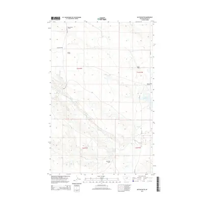
2014 Map of Button Butte
USGS Topo · Published 2014About this map
Button Butte serves as the namesake landmark for this segment of Phillips County, presiding over a landscape defined by dramatic coulees and wide prairie valleys. The terrain transitions from the low-lying Rudolph Valley in the west to the significant waters of the Nelson Reservoir in the east. This 2014 survey documents the vital water systems of the region, including the winding course of Big Warm Cr and Beaver Creek, which shape the local drainage patterns. Grounded in the rural character of northern Montana, the map traces the network of local transport such as Regina Rd and Rudolph Valley Rd, providing a detailed look at the land management and hydrography as it existed in the early 21st century.
Find a feature on this map
16 named features on this map. Tap any name to fly to it.
Don’t see what you’re looking for? This feature index may not catch every label — zoom into the map to look around manually.
Map Details
Editions of this 2014 Button Butte Map
This is the sole edition of this map. No revisions or reprints were ever made.
Other maps of this area

1953 · Havre
USGS Topo · 1:250,000

1954 · Jordan
USGS Topo · 1:250,000

1954 · Glasgow
USGS Topo · 1:250,000

1954 · Lewistown
USGS Topo · 1:250,000

1956 · Jordan
USGS Topo · 1:250,000

1957 · Glasgow
USGS Topo · 1:250,000

1957 · Havre
USGS Topo · 1:250,000

1958 · Glasgow
USGS Topo · 1:250,000

1958 · Jordan
USGS Topo · 1:250,000

1958 · Havre
USGS Topo · 1:250,000