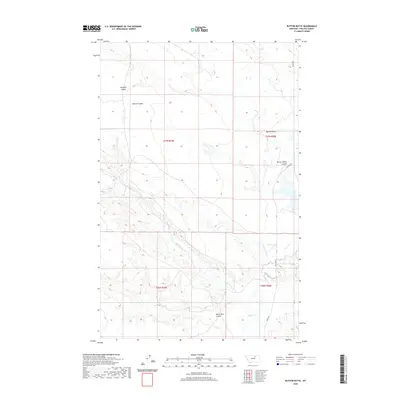
2020 Map of Button Butte
USGS Topo · Published 2020About this map
Rudolph Valley and the surrounding drainage basins of Phillips County define this section of the Montana plains. The landscape is marked by a series of deep depressions and intermittent watercourses, notably Big Warm Creek and Beaver Creek, which shape the local topography. The eponymous Button Butte serves as a primary landmark in the eastern portion of the survey, situated near the head of Button Butte Coulee.
Find a feature on this map
13 named features on this map. Tap any name to fly to it.
Don’t see what you’re looking for? This feature index may not catch every label — zoom into the map to look around manually.
Map Details
Editions of this 2020 Button Butte Map
This is the sole edition of this map. No revisions or reprints were ever made.
Other maps of this area

1953 · Havre
USGS Topo · 1:250,000

1954 · Jordan
USGS Topo · 1:250,000

1954 · Glasgow
USGS Topo · 1:250,000

1954 · Lewistown
USGS Topo · 1:250,000

1956 · Jordan
USGS Topo · 1:250,000

1957 · Glasgow
USGS Topo · 1:250,000

1957 · Havre
USGS Topo · 1:250,000

1958 · Glasgow
USGS Topo · 1:250,000

1958 · Jordan
USGS Topo · 1:250,000

1958 · Havre
USGS Topo · 1:250,000