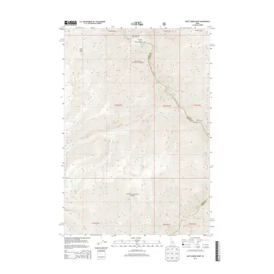
2013 Map of Butts Creek Point
USGS Topo · Published 2013About this map
The Salmon River carves a deep path through the Salmon National Forest, defining the border between Idaho and Lemhi counties. This remote interior of the Idaho wilderness is marked by river bars that served as crucial landing points and small settlement sites, including Corn Creek Bar, Cunningham Bar, and Cache Bar. The elevation rises sharply from the riverbanks toward high ridgelines like Butts Creek Point, where numerous drainages such as Kitchen Cr and Proctor Cr feed into the main waterway. Along the river corridor, Salmon River Rd provides limited access to the canyon floor. At the southern edge of the quadrangle, the confluence with the Middle Fork Salmon River near Hancock Rapids highlights the complex hydrologic network that dictated travel and survival in this steep, river-dominated landscape.
Find a feature on this map
41 named features on this map. Tap any name to fly to it.
Don’t see what you’re looking for? This feature index may not catch every label — zoom into the map to look around manually.
Map Details
Editions of this 2013 Butts Creek Point Map
This is the sole edition of this map. No revisions or reprints were ever made.
Other maps of this area

1956 · Elk City
USGS Topo · 1:250,000

1960 · Elk City
USGS Topo · 1:250,000

1962 · Square Top
USGS Topo · 1:24,000

1962 · Long Tom Mtn
USGS Topo · 1:24,000

1962 · Papoose Peak
USGS Topo · 1:24,000

1962 · Aggipah Mtn
USGS Topo · 1:24,000

1962 · Mt Mc Guire
USGS Topo · 1:24,000

1962 · Horse Creek Butte
USGS Topo · 1:24,000

1962 · Butts Creek Point
USGS Topo · 1:24,000

1977 · Cottonwood Butte
USGS Topo · 1:24,000