
1962 Map of Butts Creek Point
USGS Topo · Published 1964About this map
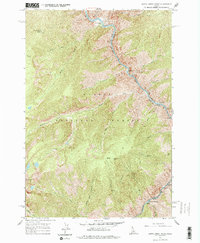
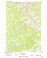
Butts Creek Point Lookout stands at the head of a complex drainage system within the Salmon National Forest, overlooking the deep river canyons of central Idaho. During this early 1960s survey, the area is defined by its dramatic elevation changes and the confluence of powerful waterways. The Salmon River cuts through the northern portion of the map, passing Cunningham Bar and Cache Bar, while the Middle Fork Salmon River flows through the southeast corner near Hancock Rapids. Remote forest infrastructure is evident in the presence of Nolan Lookout and an abandoned airstrip near West Fork Bulls Creek. The landscape is etched with numerous named tributaries such as Kitchen Creek and Proctor Creek, reflecting a wilderness primarily accessed by river and ridge-top lookouts before the era of modern development.
Find a feature on this map
32 named features on this map. Tap any name to fly to it.
Don’t see what you’re looking for? This feature index may not catch every label — zoom into the map to look around manually.
Map Details
Editions of this 1962 Butts Creek Point Map
3 editions found
Other maps of this area

1956 · Elk City
USGS Topo · 1:250,000

1960 · Elk City
USGS Topo · 1:250,000

1962 · Square Top
USGS Topo · 1:24,000

1962 · Long Tom Mtn
USGS Topo · 1:24,000

1962 · Papoose Peak
USGS Topo · 1:24,000

1962 · Aggipah Mtn
USGS Topo · 1:24,000

1962 · Mt Mc Guire
USGS Topo · 1:24,000

1962 · Horse Creek Butte
USGS Topo · 1:24,000

1977 · Cottonwood Butte
USGS Topo · 1:24,000

1978 · Waugh Mountain
USGS Topo · 1:24,000